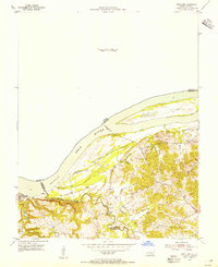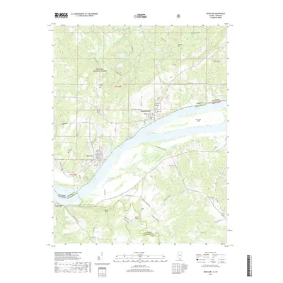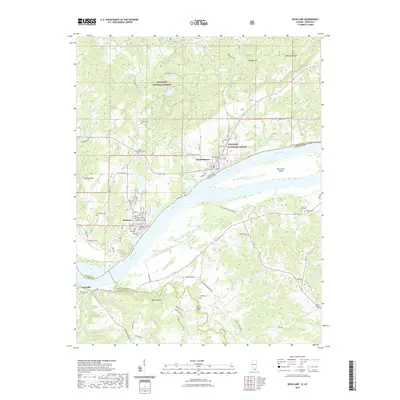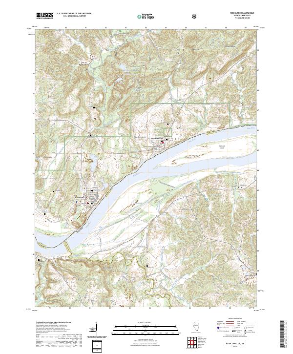
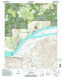
1996 Map of Rosiclare
USGS Topo · Published 1999About this map
Illinois Furnace and the industrial extraction of the Illinois-Kentucky Fluorspar District anchor this landscape along the north bank of the Ohio River. The map documents a complex mining economy, with heavy industry sites like the Rosiclare Mine, Ozark-Mahoning Mine, and Alcoa Mine surrounding the riverfront town of Rosiclare. To the south, across the water in Kentucky, the terrain transitions to the agricultural and creek-fed lands of Crittenden and Livingston counties, where family-named landmarks like the Milford Bridge and Whites Chapel define the rural character. In the Shawnee National Forest north of Elizabethtown, the historic Illinois Furnace site and the Kaskaskia Experimental Forest highlight the region's long history of resource management. From the Ferry crossing at the river to the small settlements like Carrsville and Hardin City, the map preserves a mid-1990s record of a river-and-resource community.
Find a feature on this map
51 named features on this map. Tap any name to fly to it.
Don’t see what you’re looking for? This feature index may not catch every label — zoom into the map to look around manually.
Map Details
Editions of this 1996 Rosiclare Map
2 editions found
Historical Maps of Rosiclare Through Time
8 maps found