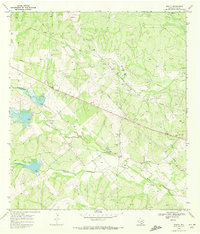
1968 Map of Rosita
USGS Topo · Published 1972About this map
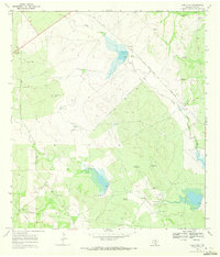
Rosita Creek and Tarancahuas Creek meander across this South Texas landscape in Duval County, defining the drainage patterns of a region deeply tied to ranching and early petroleum development. The map reveals a high density of family-named landmarks that speak to the Mexican-American heritage of the area, including Buena Vista Cem, Pila Blanca Cem, and Alaniz Cem. The small settlement of Rosita serves as a local anchor near the convergence of these seasonal waterways.
Find a feature on this map
20 named features on this map. Tap any name to fly to it.
Don’t see what you’re looking for? This feature index may not catch every label — zoom into the map to look around manually.
Map Details
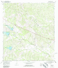
Editions of this 1968 Rosita Map
2 editions found
Other maps of this area

1956 · Benavides
USGS Topo · 1:62,500

1956 · Rosita Ranch
USGS Topo · 1:62,500

1956 · Freer
USGS Topo · 1:62,500

1956 · Laredo
USGS Topo · 1:250,000

1968 · Benavides NW
USGS Topo · 1:24,000

1968 · Parrilla Creek NE
USGS Topo · 1:24,000
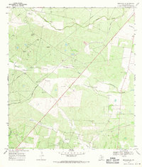
1968 · Benavides NE
USGS Topo · 1:24,000
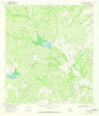
1969 · Rosita NE
USGS Topo · 1:24,000
1969 · Rosita NW
USGS Topo · 1:24,000
1969 · Rosita SE
USGS Topo · 1:24,000