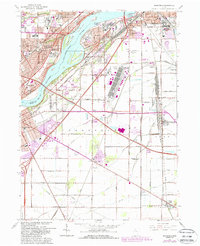
1965 Map of Rossford
USGS Topo · Published 1988About this map
Maumee River commerce and heavy rail infrastructure dominate this mid-century survey of the Wood and Lucas County border. The expansive Stanley Yard serves as a massive industrial focal point east of Rossford, illustrating the intense logistical activity of the Conrail and Toledo Terminal lines. Along the river, several large islands including Delaware Island and Grassy Island sit opposite the Toledo Filtration Plant and the famed Zoological Park. The map documents the rapid expansion of Toledo and Perrysburg as the Ohio Turnpike and Anthony Wayne Trail reshaped the local commute. Farther from the urban core, small outlying communities like Lime City, Moline, and Stony Ridge remain connected by rural routes such as Genoa Road and Walbridge Road. Local genealogy is supported by the location of the County Infirmary, Toledo State Hospital, and neighborhood landmarks like Our Lady of Perpetual Help Sch.
Find a feature on this map
74 named features on this map. Tap any name to fly to it.
Don’t see what you’re looking for? This feature index may not catch every label — zoom into the map to look around manually.
Map Details
Editions of this 1965 Rossford Map
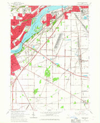
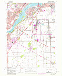
Other maps of this area

1900 · Maumee Bay
USGS Topo · 1:62,500

1900 · Toledo
USGS Topo · 1:62,500

1901 · Bowling Green
USGS Topo · 1:62,500

1901 · Elmore
USGS Topo · 1:62,500

1903 · Bowling Green
USGS Topo · 1:62,500

1903 · Elmore
USGS Topo · 1:62,500

1934 · Point Place
USGS Topo · 1:24,000

1934 · Rossford
USGS Topo · 1:24,000

1935 · Walbridge
USGS Topo · 1:24,000

1935 · Maumee
USGS Topo · 1:24,000