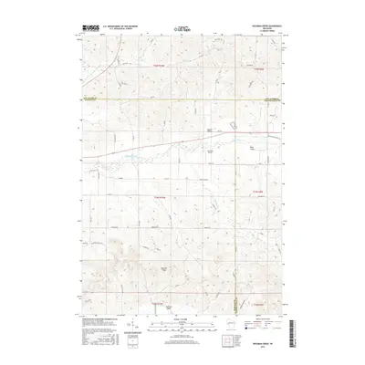
2015 Map of Rossman Creek
USGS Topo · Published 2015About this map
The Buffalo River carves a central path through this West-Central Wisconsin landscape, marking a significant topographical divide where Buffalo, Eau Claire, and Trempealeau counties meet. The river valley is flanked by distinct landforms such as Session Valley and Davy Valley, with the prominent Bennett Ridge rising to the south above Bennett Valley. This 2015 U.S. Geological Survey representation highlights the transition of the regional transportation network, where the Buffalo River State Trl follows the river corridor, likely occupying a former rail grade. Local aviation is represented by the Log Cabin Airport situated near the river's bend. Numerous tributaries, including Rossman Cr, Peeso Cr, and Lindsay Cr, drain the surrounding uplands, which are defined by a grid of rural roads like Co Hwy W and Co Hwy Y.
Find a feature on this map
65 named features on this map. Tap any name to fly to it.
Don’t see what you’re looking for? This feature index may not catch every label — zoom into the map to look around manually.
Map Details
Editions of this 2015 Rossman Creek Map
This is the sole edition of this map. No revisions or reprints were ever made.
Other maps of this area

1926 · Whitehall
USGS Topo · 1:62,500

1927 · Strum
USGS Topo · 1:62,500

1929 · Whitehall
USGS Topo · 1:62,500

1930 · Strum
USGS Topo · 1:62,500

1932 · Gilmanton
USGS Topo · 1:62,500

1932 · Mondovi
USGS Topo · 1:62,500

1953 · Eau Claire
USGS Topo · 1:250,000

1958 · Eau Claire
USGS Topo · 1:250,000

1964 · Eau Claire
USGS Topo · 1:250,000
1973 · Cleghorn
USGS Topo · 1:24,000