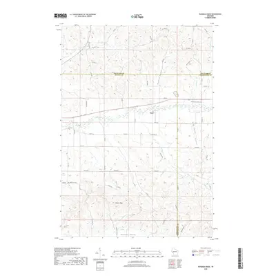
2018 Map of Rossman Creek
USGS Topo · Published 2018About this map
Buffalo River drainage patterns define this corner of west-central Wisconsin, where the tri-county boundaries of Eau Claire, Buffalo, and Trempealeau meet. The landscape is characterized by a series of distinct geographic drainages including Session Valley, Davy Valley, and Bennett Valley, the latter of which is overlooked by the prominent Bennett Ridge. These valleys are carved by a network of waterways such as Rossman Cr, Elk Cr, and Peeso Cr.
Find a feature on this map
57 named features on this map. Tap any name to fly to it.
Don’t see what you’re looking for? This feature index may not catch every label — zoom into the map to look around manually.
Map Details
Editions of this 2018 Rossman Creek Map
This is the sole edition of this map. No revisions or reprints were ever made.
Other maps of this area
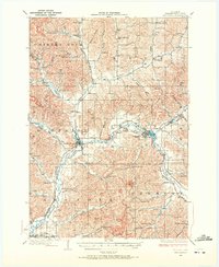
1926 · Whitehall
USGS Topo · 1:62,500
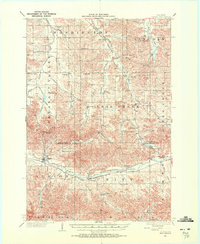
1927 · Strum
USGS Topo · 1:62,500
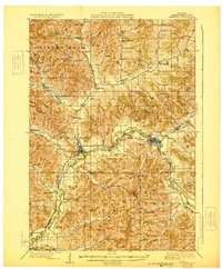
1929 · Whitehall
USGS Topo · 1:62,500
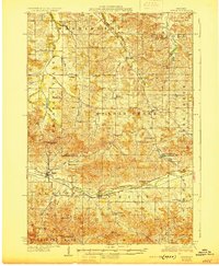
1930 · Strum
USGS Topo · 1:62,500
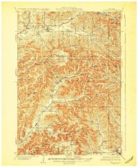
1932 · Gilmanton
USGS Topo · 1:62,500
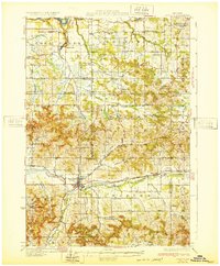
1932 · Mondovi
USGS Topo · 1:62,500

1953 · Eau Claire
USGS Topo · 1:250,000

1958 · Eau Claire
USGS Topo · 1:250,000

1964 · Eau Claire
USGS Topo · 1:250,000
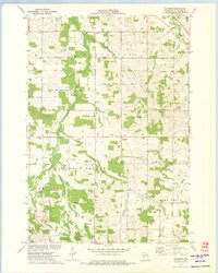
1973 · Cleghorn
USGS Topo · 1:24,000