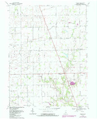
1969 Map of Rosston
USGS Topo · Published 1987About this map
Eagle Creek meanders through the heart of this agricultural landscape at the junction of Clinton, Marion, and Boone counties. Small farming hamlets and rural hubs like Rosston, Gadsden, and Northfield anchor the road network, while the southern edge of the sheet shows the early expansion of Whitestown near Community Park. The 1969 field check captures a transitional era, preserving the locations of local landmarks such as Lanes Chapel, the Township Hall, and several country sanctuaries including Antioch Ch and Fairview Ch.
Find a feature on this map
27 named features on this map. Tap any name to fly to it.
Don’t see what you’re looking for? This feature index may not catch every label — zoom into the map to look around manually.
Map Details
Editions of this 1969 Rosston Map
2 editions found
Other maps of this area

1952 · Carmel
USGS Topo · 1:24,000

1953 · Westfield
USGS Topo · 1:24,000

1953 · Fayette
USGS Topo · 1:24,000

1953 · Rosston
USGS Topo · 1:24,000

1953 · Zionsville
USGS Topo · 1:24,000

1953 · Lebanon
USGS Topo · 1:24,000

1953 · Danville
USGS Topo · 1:250,000

1953 · Indianapolis
USGS Topo · 1:250,000

1955 · Danville
USGS Topo · 1:250,000

1956 · Danville
USGS Topo · 1:250,000