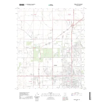
2023 Map of Roswell North
USGS Topo · Published 2023About this map
Roswell is depicted in detail during the early 2020s, showing its expansion across the High Plains of New Mexico. The map illustrates a dense grid of residential and commercial streets, particularly concentrated south of Berrendo Creek. Notable civic and religious landmarks occupy the southern portion of the sheet, including the Chaves County Courthouse and several memorial sites such as the New Mexico Military Institute Columbarium. The hydrological character of the area is defined by the east-flowing Middle Berrendo Creek and Rio Hondo, which cut through the urban layout.
Find a feature on this map
148 named features on this map. Tap any name to fly to it.
Don’t see what you’re looking for? This feature index may not catch every label — zoom into the map to look around manually.
Map Details
Editions of this 2023 Roswell North Map
This is the sole edition of this map. No revisions or reprints were ever made.
Other maps of this area

1949 · Hondo Reservoir
USGS Topo · 1:24,000

1949 · Roswell North
USGS Topo · 1:24,000

1949 · Roswell South
USGS Topo · 1:24,000

1949 · Corn Ranch
USGS Topo · 1:24,000

1950 · Corn Ranch
USGS Topo · 1:24,000

1950 · South Spring
USGS Topo · 1:24,000

1950 · Bitter Lake
USGS Topo · 1:24,000

1955 · Roswell
USGS Topo · 1:250,000

1958 · Roswell
USGS Topo · 1:250,000

1962 · Roswell
USGS Topo · 1:250,000