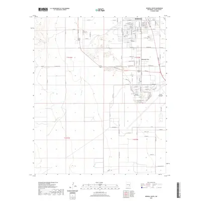
2020 Map of Roswell South
USGS Topo · Published 2020About this map
The Rio Hondo cuts through the high plains of Chaves County, anchoring the southern landscape of Roswell as it appeared in the early 21st century. This survey documents the transition from the structured street grids of the city to the open terrain of the Pecos Valley, including the established community of Mountain View. The built environment is defined by significant educational and industrial footprints, most notably the Eastern New Mexico University - Roswell Campus and the sprawling facility of the Roswell International Air Center. Local history and genealogy are supported by the clear platting of neighborhoods around South Park Cem and the network of local routes like W Charleston Rd and S Plains Park Dr. To the southwest, the confluence of Rocky Arroyo with the larger river system highlights the natural drainage patterns that have historically shaped settlement in this arid region.
Find a feature on this map
92 named features on this map. Tap any name to fly to it.
Don’t see what you’re looking for? This feature index may not catch every label — zoom into the map to look around manually.
Map Details
Editions of this 2020 Roswell South Map
This is the sole edition of this map. No revisions or reprints were ever made.
Other maps of this area

1949 · Hondo Reservoir
USGS Topo · 1:24,000

1949 · Peters Lake
USGS Topo · 1:24,000

1949 · Roswell North
USGS Topo · 1:24,000

1949 · Roswell South
USGS Topo · 1:24,000

1949 · Juan Lake
USGS Topo · 1:24,000

1949 · Corn Ranch
USGS Topo · 1:24,000

1950 · Dexter West
USGS Topo · 1:24,000

1950 · Corn Ranch
USGS Topo · 1:24,000

1950 · South Spring
USGS Topo · 1:24,000

1950 · Bitter Lake
USGS Topo · 1:24,000