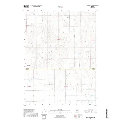
2017 Map of Roten Valley South
USGS Topo · Published 2017About this map
Rock Island Table and the surrounding high plains of the Nebraska sandhills region dominate this 2017 survey along the Custer and Dawson County line. The landscape is defined by a complex network of dry valleys and managed water resources, including Sells Valley in the north and the broader Roten Valley to the south. Human modification of the arid terrain is evident in the numerous water management features such as Stump Ditch and several named catchments like Cyriacks Reservoir and Feddersen Reservoir. These reservoirs, along with Spring Cr Reservoir 18-A, underscore the vital role of water storage for local ranching and agricultural operations. A rigid grid of section roads, including Roten Valley Rd and RD 771, provides access across the shifting elevations of Cottonwood Valley.
Find a feature on this map
35 named features on this map. Tap any name to fly to it.
Don’t see what you’re looking for? This feature index may not catch every label — zoom into the map to look around manually.
Map Details
Editions of this 2017 Roten Valley South Map
This is the sole edition of this map. No revisions or reprints were ever made.
Other maps of this area

1896 · Lexington
USGS Topo · 1:125,000

1899 · Lexington
USGS Topo · 1:125,000

1902 · Gothenburg
USGS Topo · 1:125,000

1951 · Oconto SW
USGS Topo · 1:24,000

1951 · Oconto NW
USGS Topo · 1:24,000

1954 · McCook
USGS Topo · 1:250,000

1954 · North Platte
USGS Topo · 1:250,000

1955 · Broken Bow
USGS Topo · 1:250,000

1955 · Grand Island
USGS Topo · 1:250,000

1956 · Broken Bow
USGS Topo · 1:250,000