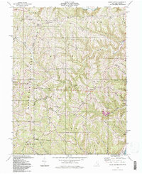
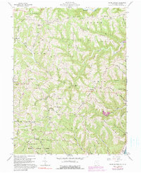
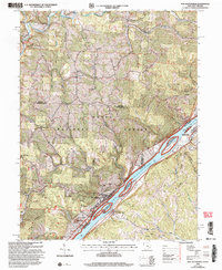
1994 Map of Round Bottom
USGS Topo · Published 1998This historical map portrays the area of Round Bottom in 1994, primarily covering Monroe County as well as portions of Monroe County and West Virginia. Featuring a scale of 1:24000, this map provides a highly detailed snapshot of the terrain, roads, buildings, counties, and historical landmarks in the Round Bottom region at the time. Published in 1998, it is the sole known edition of this map.
Find a feature on this map
90 named features on this map. Tap any name to fly to it.
Don’t see what you’re looking for? This feature index may not catch every label — zoom into the map to look around manually.
Map Details
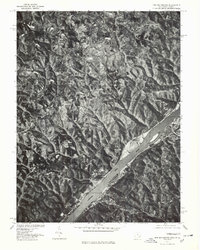
Editions of this 1994 Round Bottom Map
This is the sole edition of this map. No revisions or reprints were ever made.
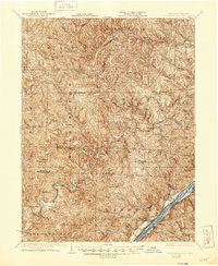
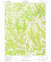
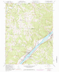
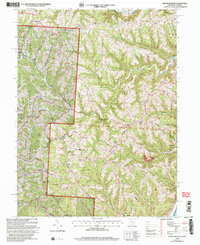
Historical Maps of Adams Township Through Time
12 maps found

1905 New Matamoras
Monroe County, OH

1924 New Matamoras
Monroe County, OH
1926 New Matamoras
Monroe County, OH
1960 Cameron
Monroe County, OH
1960 New Matamoras
Monroe County, OH
1960 Round Bottom
Monroe County, OH
1975 New Matamoras
Monroe County, OH
1994 Cameron
Monroe County, OH
1994 New Matamoras
Monroe County, OH
1994 Round Bottom
Monroe County, OH
2002 New Matamoras
Monroe County, OH
2002 Round Bottom
Monroe County, OH
Featured Locations
- Salem Township, OH
- Jackson Township, OH
- Lee Township, OH
- Round Bottom, Green Township
- Oak, Salem Township