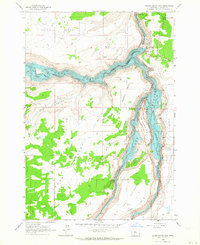
1962 Map of Round Butte Dam
USGS Topo · Published 1964About this map
Round Butte Dam and its adjacent powerhouse and observatory dominate the confluence of the Deschutes River, Chinook River, and Crooked River. This early 1960s survey records the dramatic landscape at the moment of reservoir formation, showing the rising waters of Lake Metolius and Lake Simtustus filling the deep basalt canyons. On the western plateau, the Grandview (Site) marks the location of a former settlement, now bypassed by the Grandview Loop Road across the arid Desert flats.
Find a feature on this map
35 named features on this map. Tap any name to fly to it.
Don’t see what you’re looking for? This feature index may not catch every label — zoom into the map to look around manually.
Map Details
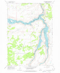
Editions of this 1962 Round Butte Dam Map
2 editions found
Other maps of this area

1926 · Bend
USGS Topo · 1:125,000

1928 · Madras
USGS Topo · 1:125,000

1929 · Bend
USGS Topo · 1:125,000

1931 · Madras
USGS Topo · 1:125,000

1955 · Bend
USGS Topo · 1:250,000

1957 · Bend
USGS Topo · 1:250,000

1958 · Bend
USGS Topo · 1:250,000

1962 · Metolius Bench
USGS Topo · 1:24,000

1962 · Opal City
USGS Topo · 1:24,000

1962 · Fly Creek
USGS Topo · 1:24,000