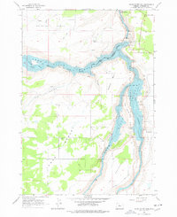
1962 Map of Round Butte Dam
USGS Topo · Published 1978About this map
Lake Billy Chinook dominates this landscape at the confluence where the Metolius River, Deschutes River, and Crooked River meet. Captured shortly after the dam's completion, the survey shows the newly formed reservoir filling the deep canyons that separate the Metolius Bench, Canadian Bench, and the Lower Desert. The massive engineering of the Round Butte Dam is visible at the northern end of the map, accompanied by its powerhouse and a Dam Observatory. Historical settlement patterns are represented by the Grandview townsite, while the western shore marks the Warm Springs Indian Reservation Boundary. This area transitions from the high plateau agriculture along Belmont Lane to the protected recreation lands of The Palisades State Park, illustrating the mid-century transformation of the High Desert through hydroelectric development and water management.
Find a feature on this map
30 named features on this map. Tap any name to fly to it.
Don’t see what you’re looking for? This feature index may not catch every label — zoom into the map to look around manually.
Map Details
Editions of this 1962 Round Butte Dam Map
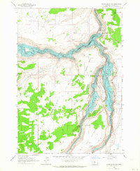
2 editions found
Other maps of this area

1926 · Bend
USGS Topo · 1:125,000

1928 · Madras
USGS Topo · 1:125,000

1929 · Bend
USGS Topo · 1:125,000

1931 · Madras
USGS Topo · 1:125,000

1955 · Bend
USGS Topo · 1:250,000

1957 · Bend
USGS Topo · 1:250,000

1958 · Bend
USGS Topo · 1:250,000

1962 · Metolius Bench
USGS Topo · 1:24,000

1962 · Opal City
USGS Topo · 1:24,000

1962 · Fly Creek
USGS Topo · 1:24,000