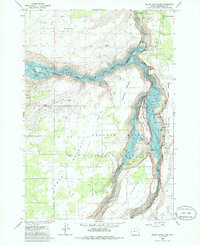
1985 Map of Round Butte Dam
USGS Topo · Published 1986About this map
Round Butte Dam and its resulting reservoir, Lake Billy Chinook, dominate this mid-1980s landscape at the confluence of three major waterways. The map illustrates the dramatic meeting of the Metolius River, Deschutes River, and Crooked River, now largely contained within the boundaries of The Cove Palisades State Park. The impoundment has transformed the deep canyons into a recreational hub, indicated by the many boat ramps, campgrounds, and the Dam Observatory.
Find a feature on this map
37 named features on this map. Tap any name to fly to it.
Don’t see what you’re looking for? This feature index may not catch every label — zoom into the map to look around manually.
Map Details
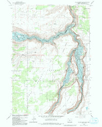
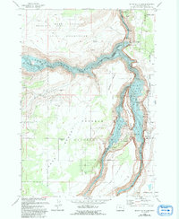
Editions of this 1985 Round Butte Dam Map
3 editions found
Other maps of this area

1926 · Bend
USGS Topo · 1:125,000

1928 · Madras
USGS Topo · 1:125,000

1929 · Bend
USGS Topo · 1:125,000

1931 · Madras
USGS Topo · 1:125,000

1955 · Bend
USGS Topo · 1:250,000

1957 · Bend
USGS Topo · 1:250,000

1958 · Bend
USGS Topo · 1:250,000

1962 · Metolius Bench
USGS Topo · 1:24,000

1962 · Opal City
USGS Topo · 1:24,000

1962 · Fly Creek
USGS Topo · 1:24,000