
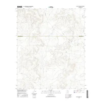
2022 Map of Round Hill
USGS Topo · Published 2022About this map
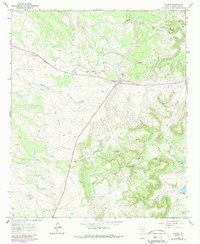
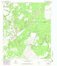
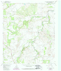
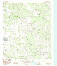
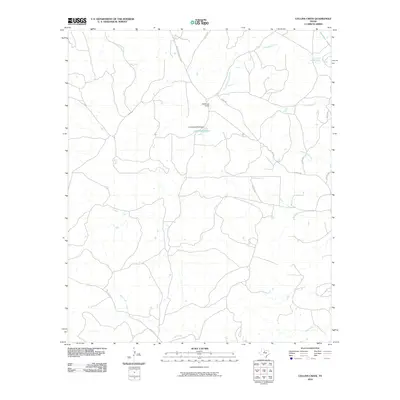
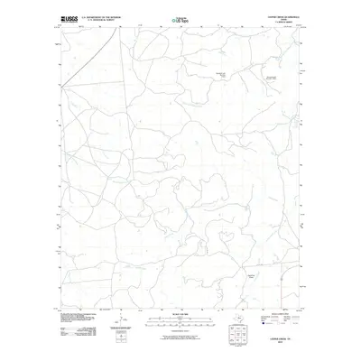
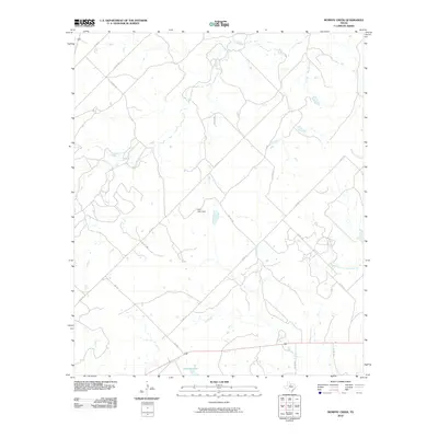
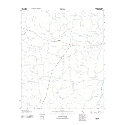
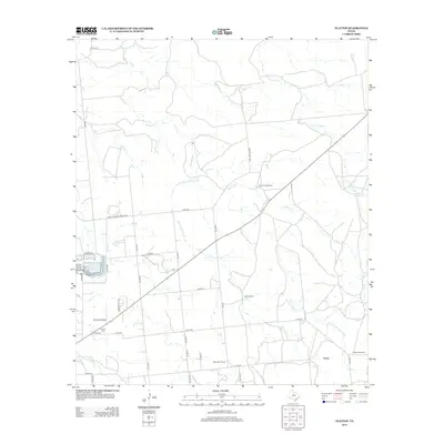
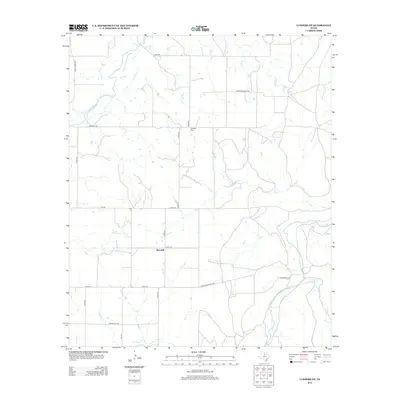
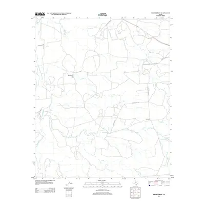
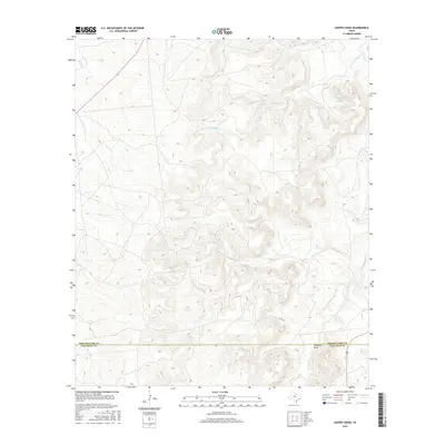
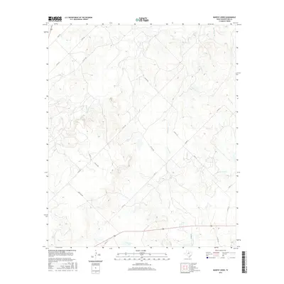
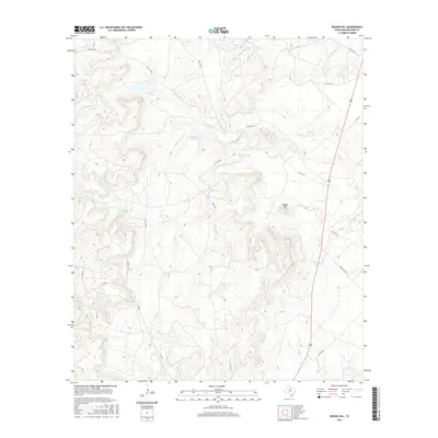
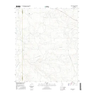
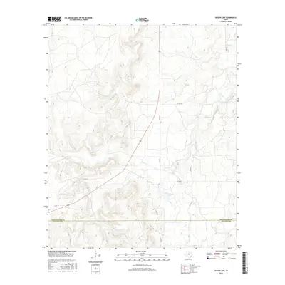
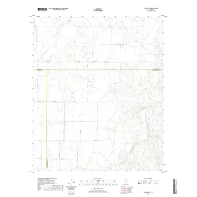
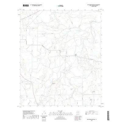
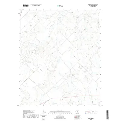
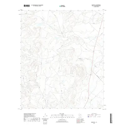
Round Hill serves as a prominent natural landmark in this Shackelford County landscape, where the terrain is defined by the winding drainages of Foyle Creek and Taylor Cr. The map shows a region shaped by ranching and private landholdings, evidenced by the extensive network of private routes like PVT RD 1481 and PVT RD 1780 that branch off from state-maintained roads like Fm 1084.
Find a feature on this map
22 named features on this map. Tap any name to fly to it.
Don’t see what you’re looking for? This feature index may not catch every label — zoom into the map to look around manually.
Map Details
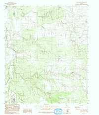
Editions of this 2022 Round Hill Map
This is the sole edition of this map. No revisions or reprints were ever made.
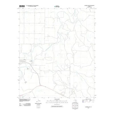
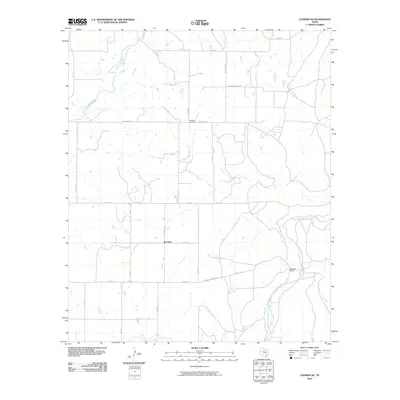
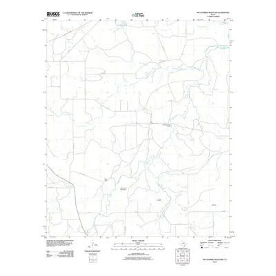
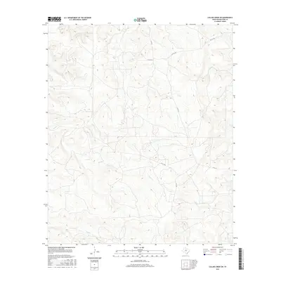
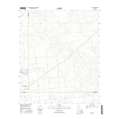
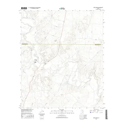
Historical Maps of Shackelford County Through Time
84 maps found
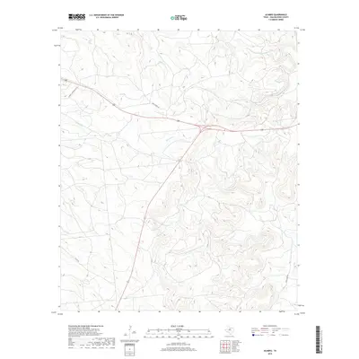
1965 Acampo
Shackelford County, TX
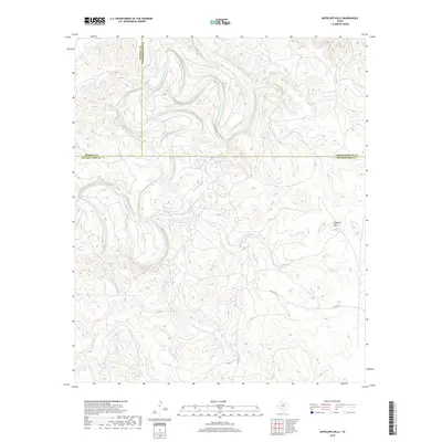
1965 Antelope Hills
Shackelford County, TX
1965 Collins Creek
Shackelford County, TX
1965 Collins Creek SW
Shackelford County, TX
1965 Fort Griffin
Shackelford County, TX
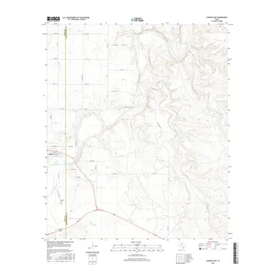
1965 Leeper Creek
Shackelford County, TX
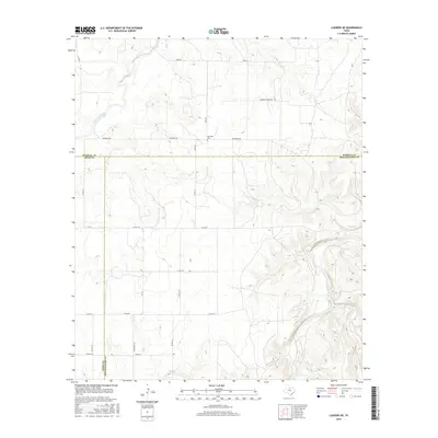
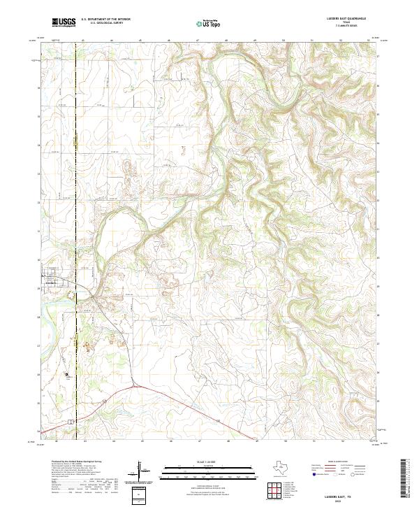
1965 Lueders East
Shackelford County, TX
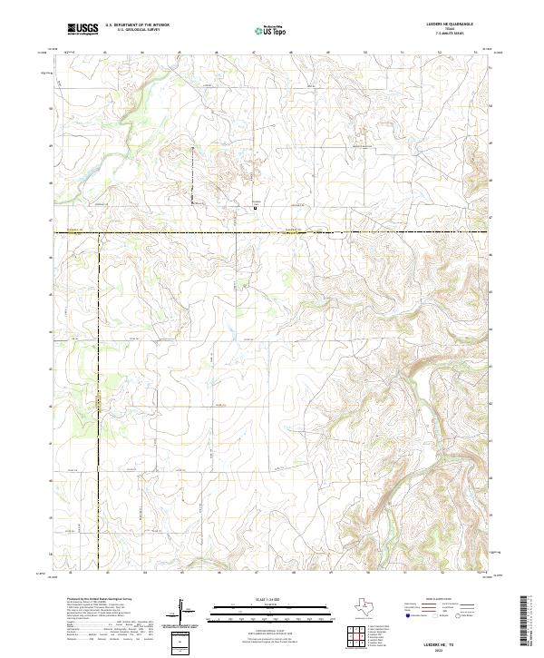
1965 Lueders NE
Shackelford County, TX
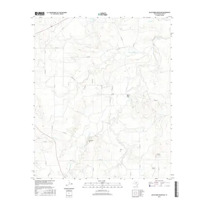
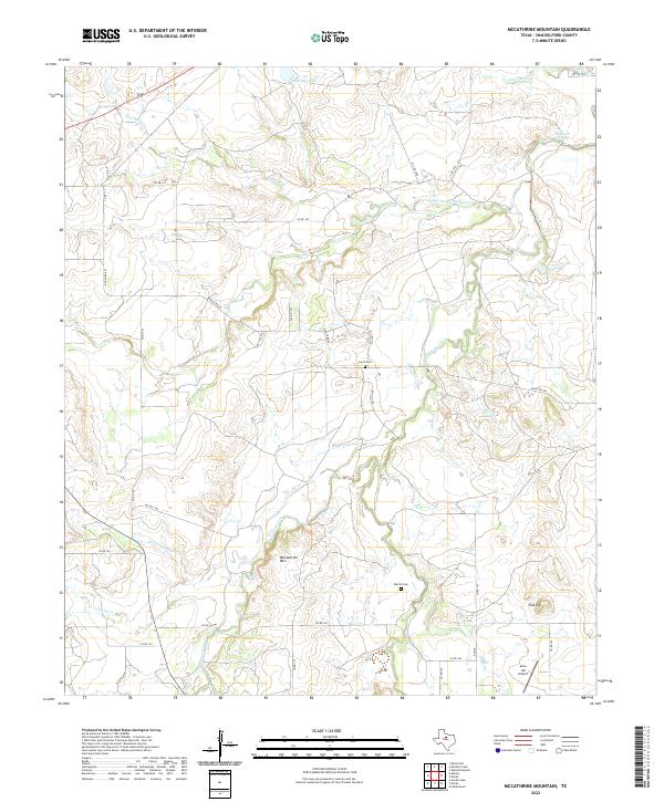
1965 McCathrine Mountain
Shackelford County, TX
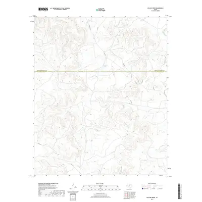
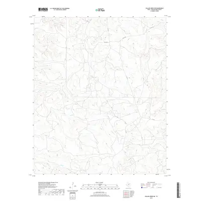
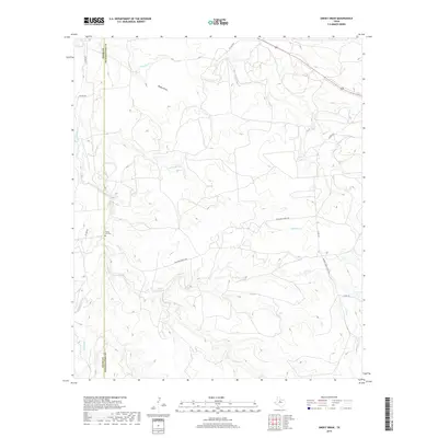
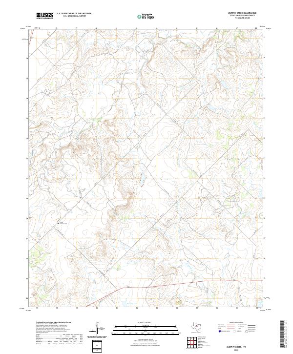
1965 Murphy Creek
Shackelford County, TX
1965 Round Hill
Shackelford County, TX
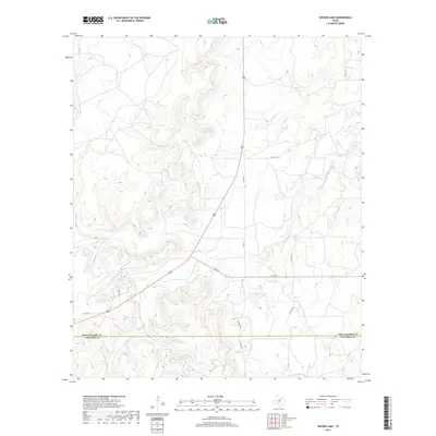
1965 Snyder Lake
Shackelford County, TX
1984 Flattop
Shackelford County, TX
1984 Smoky Draw
Shackelford County, TX
2010 Acampo
Shackelford County, TX
2010 Antelope Hills
Shackelford County, TX
2010 Collins Creek
Shackelford County, TX
2010 Collins Creek SW
Shackelford County, TX
2010 Flattop
Shackelford County, TX
2010 Fort Griffin
Shackelford County, TX
2010 Leeper Creek
Shackelford County, TX
2010 Lueders East
Shackelford County, TX
2010 Lueders NE
Shackelford County, TX
2010 McCathrine Mountain
Shackelford County, TX
2010 Murphy Creek
Shackelford County, TX
2010 Round Hill
Shackelford County, TX
2010 Smoky Draw
Shackelford County, TX
2010 Snyder Lake
Shackelford County, TX
2012 Acampo
Shackelford County, TX
2012 Antelope Hills
Shackelford County, TX
2012 Collins Creek
Shackelford County, TX
2012 Collins Creek SW
Shackelford County, TX
2012 Flattop
Shackelford County, TX
2012 Fort Griffin
Shackelford County, TX
2012 Leeper Creek
Shackelford County, TX
2012 Lueders East
Shackelford County, TX
2012 Lueders NE
Shackelford County, TX
2012 McCathrine Mountain
Shackelford County, TX
2012 Murphy Creek
Shackelford County, TX
2012 Round Hill
Shackelford County, TX
2012 Smoky Draw
Shackelford County, TX
2012 Snyder Lake
Shackelford County, TX
2016 Acampo
Shackelford County, TX
2016 Antelope Hills
Shackelford County, TX
2016 Collins Creek
Shackelford County, TX
2016 Collins Creek SW
Shackelford County, TX
2016 Flattop
Shackelford County, TX
2016 Fort Griffin
Shackelford County, TX
2016 Leeper Creek
Shackelford County, TX
2016 Lueders East
Shackelford County, TX
2016 Lueders NE
Shackelford County, TX
2016 McCathrine Mountain
Shackelford County, TX
2016 Murphy Creek
Shackelford County, TX
2016 Round Hill
Shackelford County, TX
2016 Smoky Draw
Shackelford County, TX
2016 Snyder Lake
Shackelford County, TX
2019 Acampo
Shackelford County, TX
2019 Antelope Hills
Shackelford County, TX
2019 Collins Creek
Shackelford County, TX
2019 Collins Creek SW
Shackelford County, TX
2019 Flattop
Shackelford County, TX
2019 Fort Griffin
Shackelford County, TX
2019 Leeper Creek
Shackelford County, TX
2019 Lueders East
Shackelford County, TX
2019 Lueders NE
Shackelford County, TX
2019 McCathrine Mountain
Shackelford County, TX
2019 Murphy Creek
Shackelford County, TX
2019 Round Hill
Shackelford County, TX
2019 Smoky Draw
Shackelford County, TX
2019 Snyder Lake
Shackelford County, TX
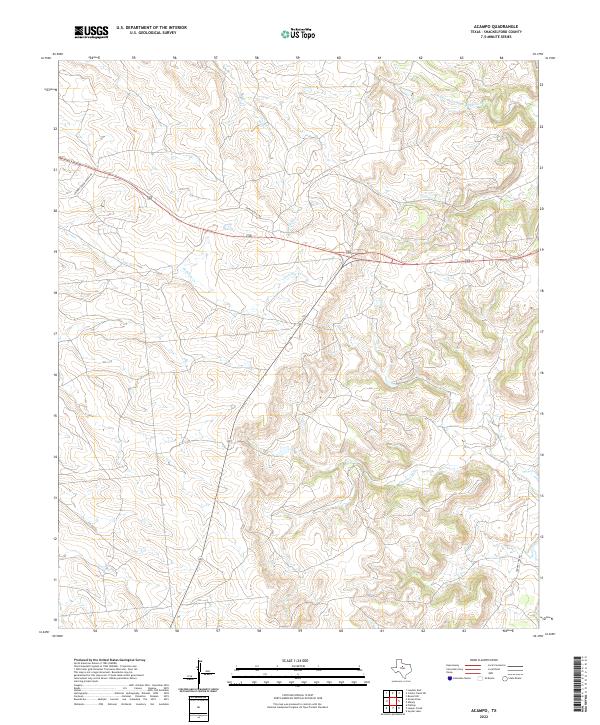
2022 Acampo
Shackelford County, TX

2022 Antelope Hills
Shackelford County, TX
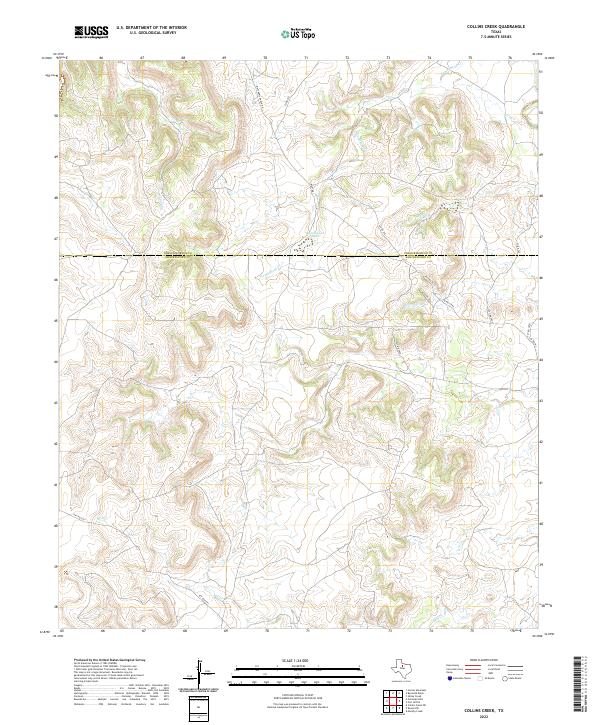
2022 Collins Creek
Shackelford County, TX
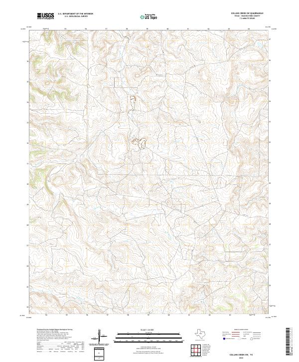
2022 Collins Creek SW
Shackelford County, TX
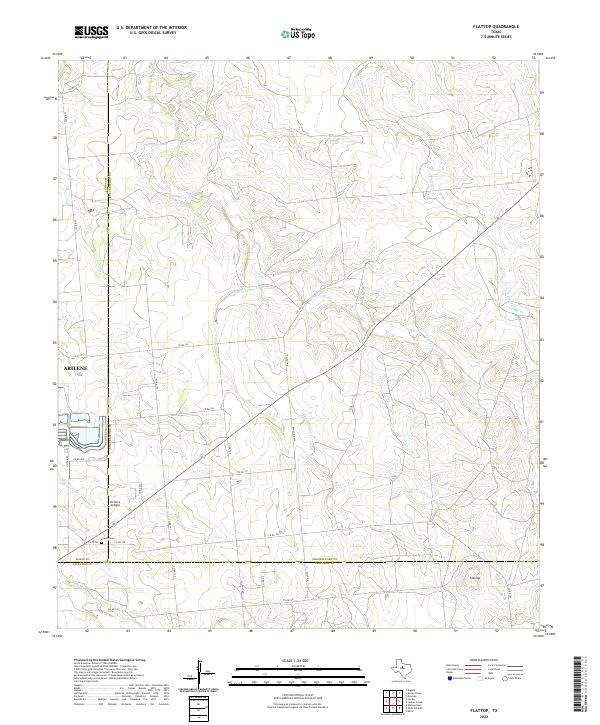
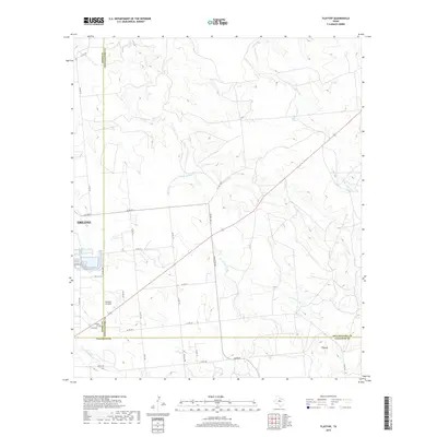
2022 Flattop
Shackelford County, TX
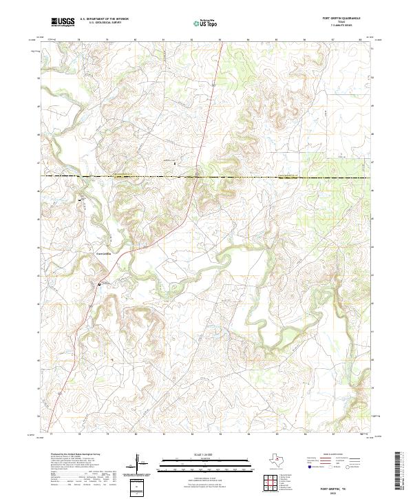
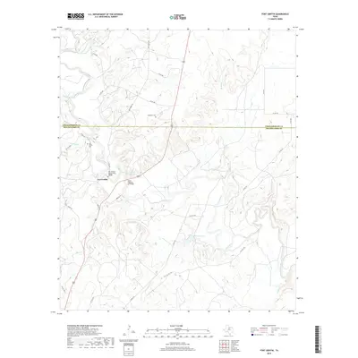
2022 Fort Griffin
Shackelford County, TX
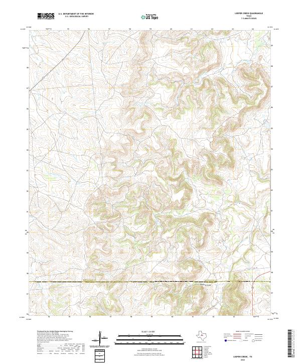
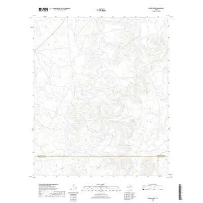
2022 Leeper Creek
Shackelford County, TX
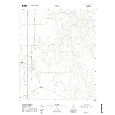
2022 Lueders East
Shackelford County, TX
2022 Lueders NE
Shackelford County, TX
2022 McCathrine Mountain
Shackelford County, TX
2022 Murphy Creek
Shackelford County, TX
2022 Round Hill
Shackelford County, TX
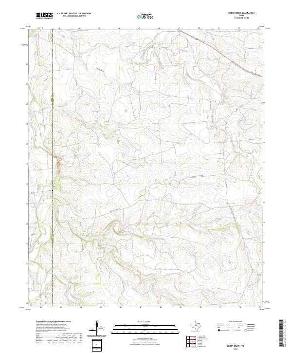
2022 Smoky Draw
Shackelford County, TX
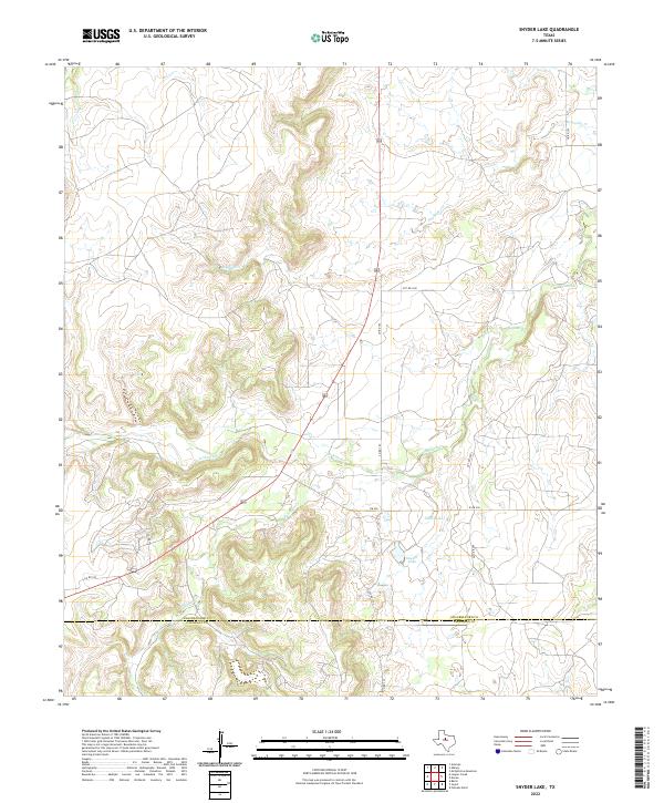
2022 Snyder Lake
Shackelford County, TX