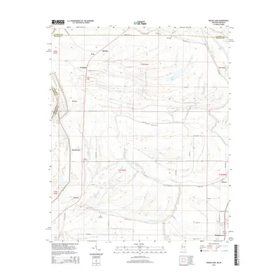
2015 Map of Round Lake
USGS Topo · Published 2015About this map
Duncan and the smaller settlements of Round Lake and Deeson anchor this portion of Bolivar County, where the landscape is defined by the winding hydrology of the Mississippi Delta. The Hushpuckena River and numerous waterways like Stokes Bayou, Jones Bayou, and Edward Bayou crisscross the alluvial plain, reflecting a drainage pattern essential to the local agricultural economy. These bayous and sloughs, including Wildcat Slough, dictate the placement of roads such as Caston Rd and Sandy Ridge Rd, which trace the higher ground between seasonal wetlands.
Find a feature on this map
56 named features on this map. Tap any name to fly to it.
Don’t see what you’re looking for? This feature index may not catch every label — zoom into the map to look around manually.
Map Details
Editions of this 2015 Round Lake Map
This is the sole edition of this map. No revisions or reprints were ever made.
Other maps of this area

1930 · Mellwood
USGS Topo · 1:62,500

1931 · Drew
USGS Topo · 1:48,000

1935 · Clarksdale
USGS Topo · 1:62,500

1935 · Mound Bayou
USGS Topo · 1:62,500

1939 · Pace
USGS Topo · 1:62,500

1939 · Clarksdale
USGS Topo · 1:62,500

1939 · Mellwood
USGS Topo · 1:62,500

1948 · Helena
USGS Topo · 1:250,000

1950 · Helena
USGS Topo · 1:250,000

1953 · Greenwood
USGS Topo · 1:250,000