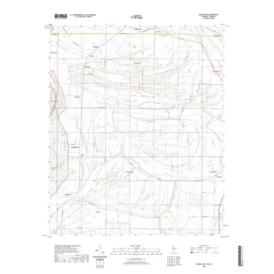
2020 Map of Round Lake
USGS Topo · Published 2020About this map
Hillhouse and Rochdale sit amidst the fertile delta plains of Bolivar County, where the landscape is defined by the winding paths of bayous and the rigid lines of agricultural management. The Hushpuckena River snakes along the eastern edge of the survey, mirroring the erratic curves of Yellow Bayou and Jones Bayou. These waterways served as the lifeblood for settlements like Duncan and Deeson, which grew along the drainage networks of the Mississippi floodplain.
Find a feature on this map
61 named features on this map. Tap any name to fly to it.
Don’t see what you’re looking for? This feature index may not catch every label — zoom into the map to look around manually.
Map Details
Editions of this 2020 Round Lake Map
This is the sole edition of this map. No revisions or reprints were ever made.
Other maps of this area

1930 · Mellwood
USGS Topo · 1:62,500

1931 · Drew
USGS Topo · 1:48,000

1935 · Clarksdale
USGS Topo · 1:62,500

1935 · Mound Bayou
USGS Topo · 1:62,500

1939 · Pace
USGS Topo · 1:62,500

1939 · Clarksdale
USGS Topo · 1:62,500

1939 · Mellwood
USGS Topo · 1:62,500

1948 · Helena
USGS Topo · 1:250,000

1950 · Helena
USGS Topo · 1:250,000

1953 · Greenwood
USGS Topo · 1:250,000