Loading...
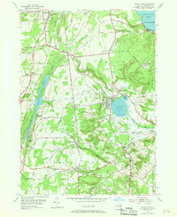
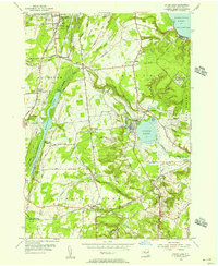
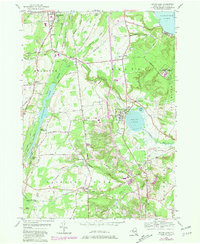
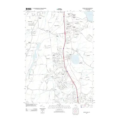
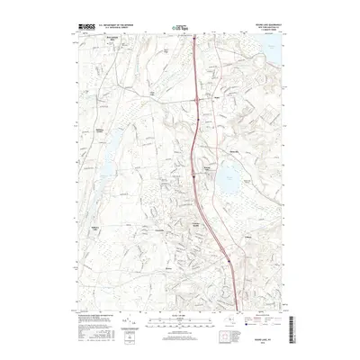
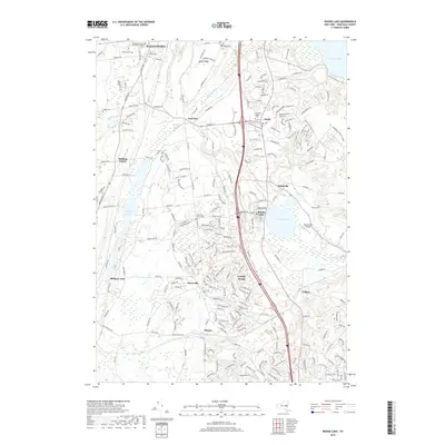
Loading map...1954 Map of Round Lake
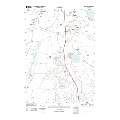
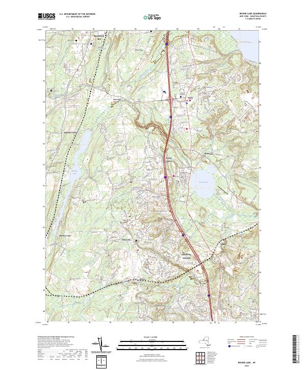
USGS Topo · Published 1968About this map
Ballston Lake and Round Lake anchor this landscape during a period of post-war transition in southern Saratoga County. The topography reveals a complex network of mid-century infrastructure, including the U S Military Res (Malta Test Sta) situated on the Malta Plains and the Radio Range Sta near the village of Round Lake. The settlement pattern is defined by historic crossroads such as Jonesville, East Line, and Maltaville, which remained distinct before modern suburban expansion.
Find a feature on this map
64 named features on this map. Tap any name to fly to it.
Don’t see what you’re looking for? This feature index may not catch every label — zoom into the map to look around manually.
Map Details
Date Portrayed1954
Date Published1968
PublisherU.S. Geological Survey
Map TypeTopographic
Scale1:24,000
Physical Dimensions22.1 x 27 inches
Editions of this 1954 Round Lake Map
3 editions found
Historical Maps of Clifton Park Through Time
6 maps found
Featured Locations
Source Details
SourceU.S. Geological Survey
CopyrightPublic Domain