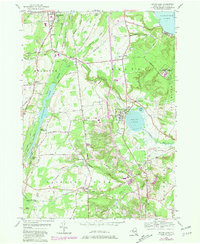
1954 Map of Round Lake
USGS Topo · Published 1981About this map
Ballston Lake and the village of Round Lake anchor this topographic survey of Saratoga County, where the transition from mid-century rural patterns to modern development is clearly visible. The landscape is defined by the intersection of water and transport, with the Delaware and Hudson Railroad and Boston and Maine Railroad corridors cutting through the terrain near established settlements like Jonesville, Malta, and Ballston Spa.
Find a feature on this map
61 named features on this map. Tap any name to fly to it.
Don’t see what you’re looking for? This feature index may not catch every label — zoom into the map to look around manually.
Map Details
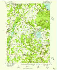
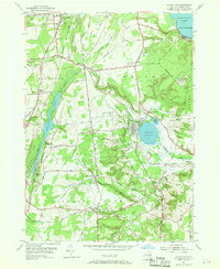
Editions of this 1954 Round Lake Map
3 editions found
Other maps of this area

1893 · Cohoes
USGS Topo · 1:62,500

1893 · Schenectady
USGS Topo · 1:62,500

1895 · Cohoes
USGS Topo · 1:62,500

1895 · Schenectady
USGS Topo · 1:62,500

1898 · Schenectady
USGS Topo · 1:62,500

1898 · Cohoes
USGS Topo · 1:62,500

1900 · Schuylerville
USGS Topo · 1:62,500

1902 · Saratoga
USGS Topo · 1:62,500

1929 · Cohoes
USGS Topo · 1:62,500

1930 · Schenectady
USGS Topo · 1:62,500