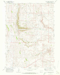
1969 Map of Round Mountain
USGS Topo · Published 1972About this map
The Emigrant Trail cuts across this Lincoln County landscape, tracing a historical path through high-elevation terrain dominated by the complex drainage systems of Slate Creek Ridge. By the late 1960s, this area remained largely undeveloped, characterized by seasonal water sources and ranching infrastructure rather than concentrated settlements. Significant named landmarks include Round Mountain and the settlement of Matthews, which sits near Trap Draw.
Find a feature on this map
22 named features on this map. Tap any name to fly to it.
Don’t see what you’re looking for? This feature index may not catch every label — zoom into the map to look around manually.
Map Details
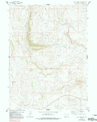
Editions of this 1969 Round Mountain Map
2 editions found
Other maps of this area

1936 · Cokeville
USGS Topo · 1:96,000

1942 · Cokeville
USGS Topo · 1:125,000

1945 · Fort Hill
USGS Topo · 1:62,500

1947 · Fort Hill
USGS Topo · 1:62,500

1954 · Ogden
USGS Topo · 1:250,000

1954 · Kemmerer
USGS Topo · 1:62,500

1955 · Preston
USGS Topo · 1:250,000

1958 · Ogden
USGS Topo · 1:250,000

1958 · Preston
USGS Topo · 1:250,000

1960 · Ogden
USGS Topo · 1:250,000