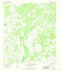
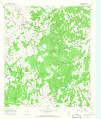
1966 Map of Round Prairie
USGS Topo · Published 1968About this map
The Navasota River winds through this Central Texas landscape, marking the boundary where Leon, Limestone, and Robertson counties converge. During the mid-1960s, this area remained largely rural, defined by a dense network of family-named cemeteries and small creek-side settlements like Seale and Round Prairie. The topography is shaped by numerous waterways, including Dogwood Creek, Birch Creek, and Steele Creek, which feed into the primary river valley. Genealogy researchers will find significant value in the distribution of burial grounds across the map, from McKenzie Cem in the north to Downs Cem near the southern edge. The Missouri Pacific railroad cuts through the eastern portion of the quadrangle, passing near the Little Flock Ch, providing a glimpse into the transport infrastructure that supported the surrounding agricultural community during this period of Texas history.
Find a feature on this map
30 named features on this map. Tap any name to fly to it.
Don’t see what you’re looking for? This feature index may not catch every label — zoom into the map to look around manually.
Map Details
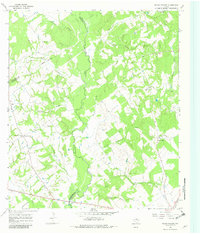
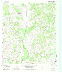
Editions of this 1966 Round Prairie Map
Other maps of this area

1925 · Marquez No. 1
USGS Topo · 1:48,000

1927 · Marquez
USGS Topo · 1:62,500

1930 · Marquez
USGS Topo · 1:62,500

1954 · Waco
USGS Topo · 1:250,000

1955 · Waco
USGS Topo · 1:250,000

1956 · Jewett
USGS Topo · 1:62,500

1964 · Margie
USGS Topo · 1:24,000

1965 · Jewett
USGS Topo · 1:24,000
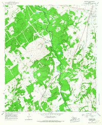
1965 · Marquez
USGS Topo · 1:24,000
1965 · Donie
USGS Topo · 1:24,000