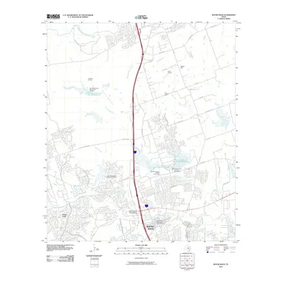
2010 Map of Round Rock
USGS Topo · Published 2010About this map
Round Rock is depicted during a period of significant suburban expansion, where traditional Texas landmarks meet modern infrastructure. The Round Rock Commercial Historic District anchors the town center, complemented by local history sites like the Round Rock Post Office and William M Owen House. The surrounding landscape is characterized by a complex network of waterways, including Brushy Creek, Onion Branch, and Lake Creek, alongside numerous flood control structures such as Soil Conservation Service Site 11 Reservoir.
Find a feature on this map
53 named features on this map. Tap any name to fly to it.
Don’t see what you’re looking for? This feature index may not catch every label — zoom into the map to look around manually.
Map Details
Editions of this 2010 Round Rock Map
This is the sole edition of this map. No revisions or reprints were ever made.
Other maps of this area

1893 · Georgetown
USGS Topo · 1:125,000

1896 · Austin
USGS Topo · 1:125,000

1897 · Austin
USGS Topo · 1:125,000

1910 · Austin
USGS Topo · 1:125,000

1925 · Georgetown 4-b
USGS Topo · 1:48,000

1925 · Georgetown 4-d
USGS Topo · 1:48,000

1928 · Round Rock
USGS Topo · 1:62,500

1932 · Mt. Bonnell
USGS Topo · 1:62,500

1949 · Round Rock
USGS Topo · 1:62,500

1951 · Round Rock
USGS Topo · 1:62,500