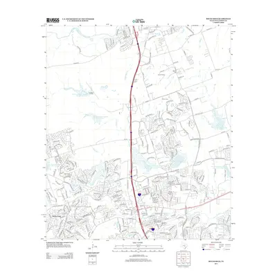
2013 Map of Round Rock
USGS Topo · Published 2013About this map
Round Rock Commercial Historic District anchors this 2013 survey of a rapidly suburbanizing landscape north of Austin. The historic downtown core is surrounded by an extensive network of modern residential developments and a dense concentration of local schools, including Old Town Elementary School, Stony Point High School, and C D Fulkes Middle School. The area's agricultural past is still visible at the J J Johnson Farm, while its modern transportation infrastructure is defined by the Union Pacific rail line and Interstate 35.
Find a feature on this map
286 named features on this map. Tap any name to fly to it.
Don’t see what you’re looking for? This feature index may not catch every label — zoom into the map to look around manually.
Map Details
Editions of this 2013 Round Rock Map
This is the sole edition of this map. No revisions or reprints were ever made.
Other maps of this area

1893 · Georgetown
USGS Topo · 1:125,000

1896 · Austin
USGS Topo · 1:125,000

1897 · Austin
USGS Topo · 1:125,000

1910 · Austin
USGS Topo · 1:125,000

1925 · Georgetown 4-b
USGS Topo · 1:48,000

1925 · Georgetown 4-d
USGS Topo · 1:48,000

1928 · Round Rock
USGS Topo · 1:62,500

1932 · Mt. Bonnell
USGS Topo · 1:62,500

1949 · Round Rock
USGS Topo · 1:62,500

1951 · Round Rock
USGS Topo · 1:62,500