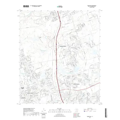
2019 Map of Round Rock
USGS Topo · Published 2019About this map
Georgetown and Round Rock anchor this 2019 survey, showcasing the rapid suburban expansion and infrastructure between the two Central Texas cities. The landscape is defined by a dense network of residential developments and major transportation corridors like the I-35 Svc Rd and Georgetown Inner Loop. Water management is a prominent feature, with multiple flood control structures such as Soil Conservation Service Site 10b Reservoir and Soil Conservation Service Site 17 Reservoir managing the tributaries of Brushy Cr and the South Fork San Gabriel River. The presence of the Tri-modal Air Park northwest of the main Interstate 35 corridor highlights the specialized transit and industrial zoning that characterizes this growing region. From the elevations of Rabbit Hill to the southern boundaries of Austin, the map provides a look at the modern topography of Williamson County.
Find a feature on this map
43 named features on this map. Tap any name to fly to it.
Don’t see what you’re looking for? This feature index may not catch every label — zoom into the map to look around manually.
Map Details
Editions of this 2019 Round Rock Map
This is the sole edition of this map. No revisions or reprints were ever made.
Other maps of this area

1893 · Georgetown
USGS Topo · 1:125,000

1896 · Austin
USGS Topo · 1:125,000

1897 · Austin
USGS Topo · 1:125,000

1910 · Austin
USGS Topo · 1:125,000

1925 · Georgetown 4-b
USGS Topo · 1:48,000

1925 · Georgetown 4-d
USGS Topo · 1:48,000

1928 · Round Rock
USGS Topo · 1:62,500

1932 · Mt. Bonnell
USGS Topo · 1:62,500

1949 · Round Rock
USGS Topo · 1:62,500

1951 · Round Rock
USGS Topo · 1:62,500