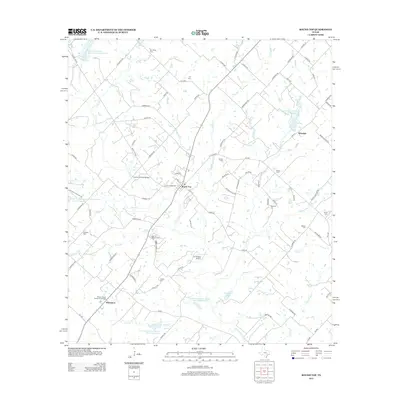
2013 Map of Round Top
USGS Topo · Published 2013About this map
Round Top and the surrounding Fayette County countryside are defined by a network of creek branches and historic homesteads. The landscape is dotted with ancestral burial grounds such as Sternberg Cem, Florida Chapel Cem, and Nassau Cem, reflecting the deep-rooted settlement patterns of this region. Notable landmarks include the William Neese Senior Homestead near Warrenton and the Cummins Creek Bridge, which spans one of the primary waterways draining the area. A series of water management projects are evident through multiple reservoirs, including Soil Conservation Service Site 17 Reservoir. Small-scale aviation is represented by El Paisano Airport, situated south of the main settlement at Round Top, while the nearby community of Winedale anchors the northeastern portion of the map.
Find a feature on this map
100 named features on this map. Tap any name to fly to it.
Don’t see what you’re looking for? This feature index may not catch every label — zoom into the map to look around manually.
Map Details
Editions of this 2013 Round Top Map
This is the sole edition of this map. No revisions or reprints were ever made.
Other maps of this area

1919 · Fayettsville
USGS Topo · 1:62,500

1919 · Giddings
USGS Topo · 1:62,500

1953 · Seguin
USGS Topo · 1:250,000

1954 · Austin
USGS Topo · 1:250,000

1956 · La Grange
USGS Topo · 1:62,500

1957 · La Grange East
USGS Topo · 1:24,000

1958 · Seguin
USGS Topo · 1:250,000

1958 · Industry
USGS Topo · 1:24,000

1958 · Ledbetter
USGS Topo · 1:24,000

1958 · Greenvine
USGS Topo · 1:24,000