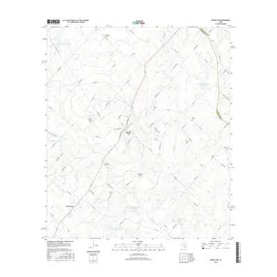
2016 Map of Round Top
USGS Topo · Published 2016About this map
Round Top and the neighboring community of Warrenton anchor this portion of the Texas hill country as it appeared in the mid-2010s. The landscape is characterized by a dense network of family-named cemeteries and rural roads that reflect generations of settlement along the winding course of Cummins Creek. Genealogists will find several distinct burial grounds, including the Sternberg Family Cem, Weyand Cem, and Nassau Cem, many of which are tucked away on private land accessed by local routes like Schulle Rd and Florida Chapel Rd.
Find a feature on this map
98 named features on this map. Tap any name to fly to it.
Don’t see what you’re looking for? This feature index may not catch every label — zoom into the map to look around manually.
Map Details
Editions of this 2016 Round Top Map
This is the sole edition of this map. No revisions or reprints were ever made.
Other maps of this area

1919 · Fayettsville
USGS Topo · 1:62,500

1919 · Giddings
USGS Topo · 1:62,500

1953 · Seguin
USGS Topo · 1:250,000

1954 · Austin
USGS Topo · 1:250,000

1956 · La Grange
USGS Topo · 1:62,500

1957 · La Grange East
USGS Topo · 1:24,000

1958 · Seguin
USGS Topo · 1:250,000

1958 · Industry
USGS Topo · 1:24,000

1958 · Ledbetter
USGS Topo · 1:24,000

1958 · Greenvine
USGS Topo · 1:24,000