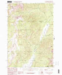
1987 Map of Roundhead Butte
USGS Topo · Published 1987About this map
Yellowstone National Park and the adjacent Gallatin National Forest meet in this 1987 survey, capturing a high-altitude wilderness at the border of Montana and Wyoming. The landscape is defined by its drainage systems, where Slough Creek and its many tributaries, including Cutoff Creek and Frenchy Creek, carve through the high country. Human presence is exceptionally sparse, limited to the Silver Tip Ranch and a remote Guard Station near the park boundary. A network of labeled Pack Trails provides the only passage through this protected area, connecting peaks like Roundhead Butte and Lookout Mountain. The transition between the Absaroka-Beartooth Wilderness and the northern edge of the park illustrates the mid-century management of these protected federal lands before modern backcountry use patterns were established.
Find a feature on this map
25 named features on this map. Tap any name to fly to it.
Don’t see what you’re looking for? This feature index may not catch every label — zoom into the map to look around manually.
Map Details
Editions of this 1987 Roundhead Butte Map
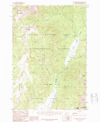
2 editions found
Other maps of this area

1886 · Canyon
USGS Topo · 1:125,000

1891 · Livingston
USGS Topo · 1:250,000

1893 · Livingston
USGS Topo · 1:250,000

1895 · Canyon
USGS Topo · 1:125,000

1896 · Canyon
USGS Topo · 1:125,000

1901 · Canyon
USGS Topo · 1:125,000

1907 · Canyon
USGS Topo · 1:125,000

1911 · Canyon
USGS Topo · 1:125,000

1940 · Mt Wallace
USGS Topo · 1:62,500

1942 · Cutoff Mtn
USGS Topo · 1:62,500