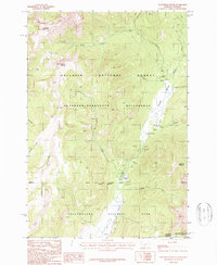
1987 Map of Roundhead Butte
USGS Topo · Published 1987About this map
Slough Creek meanders through a high mountain valley where the boundaries of Yellowstone National Park, Gallatin National Forest, and the Absaroka-Beartooth Wilderness converge. This 1980s landscape is defined by its drainage network, with Frenchy Creek and Meadow Creek feeding into the main valley floor. The human footprint is sparse but specific, centered on the Silver Tip Ranch and a remote Guard Station located near the state line.
Find a feature on this map
26 named features on this map. Tap any name to fly to it.
Don’t see what you’re looking for? This feature index may not catch every label — zoom into the map to look around manually.
Map Details
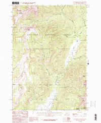
Editions of this 1987 Roundhead Butte Map
2 editions found
Other maps of this area

1886 · Canyon
USGS Topo · 1:125,000

1891 · Livingston
USGS Topo · 1:250,000

1893 · Livingston
USGS Topo · 1:250,000

1895 · Canyon
USGS Topo · 1:125,000

1896 · Canyon
USGS Topo · 1:125,000

1901 · Canyon
USGS Topo · 1:125,000

1907 · Canyon
USGS Topo · 1:125,000

1911 · Canyon
USGS Topo · 1:125,000

1940 · Mt Wallace
USGS Topo · 1:62,500

1942 · Cutoff Mtn
USGS Topo · 1:62,500