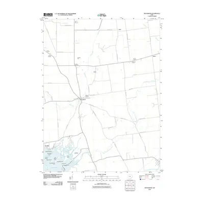
2010 Map of Roundhead
USGS Topo · Published 2010About this map
Roundhead sits at the junction of the Scioto River and several key routes in this 2010 depiction of the Ohio landscape. The area is notable for its concentration of burial sites, including the Old Roundhead Cemetery and New Roundhead Cemetery near the village center, as well as outlying sites like Hinkle Cemetery and Rutledge Cemetery. To the north, the terrain is marked by Anstine Hill, while the southern reaches transition into a complex of island features. These landforms, such as Big Walnut Isle and Pony Island, are defined by the winding course of the North Fork Great Miami River as it approaches Lucys Pond. The presence of the Roundhead Post Office and small clusters like Jump and Jumbo illustrates the persistent rural settlement patterns of Richland Township, maintained by an extensive network of township and county roads.
Find a feature on this map
62 named features on this map. Tap any name to fly to it.
Don’t see what you’re looking for? This feature index may not catch every label — zoom into the map to look around manually.
Map Details
Editions of this 2010 Roundhead Map
This is the sole edition of this map. No revisions or reprints were ever made.
Other maps of this area

1913 · Alger
USGS Topo · 1:48,000

1913 · Bellefontaine
USGS Topo · 1:48,000

1913 · East Liberty
USGS Topo · 1:62,500

1915 · Alger
USGS Topo · 1:62,500

1915 · Bellefontaine
USGS Topo · 1:62,500

1915 · East Liberty
USGS Topo · 1:62,500

1915 · Kenton
USGS Topo · 1:62,500

1943 · Alger
USGS Topo · 1:62,500

1944 · East Liberty
USGS Topo · 1:62,500

1944 · Kenton
USGS Topo · 1:62,500