Loading...
Loading map...1982 Map of Rounsaville
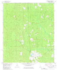
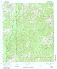
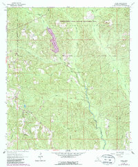
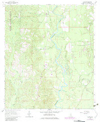
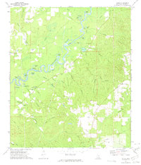
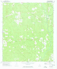
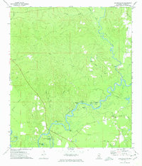
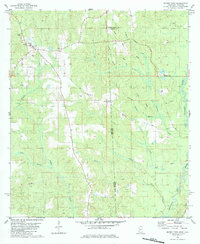
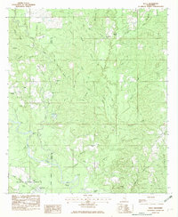
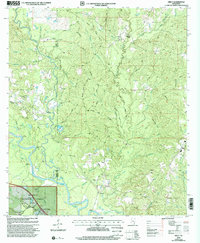
USGS Topo · Published 1982This historical map portrays the area of Rounsaville in 1982, primarily covering Greene County as well as portions of Greene County and Alabama. Featuring a scale of 1:24000, this map provides a highly detailed snapshot of the terrain, roads, buildings, counties, and historical landmarks in the Rounsaville region at the time. Published in 1982, it is the sole known edition of this map.
Map Details
Date Portrayed1982
Date Published1982
PublisherU.S. Geological Survey
Map TypeTopographic
Scale1:24000
Physical Dimensions21.9 x 26.8 inches
Editions of this 1982 Rounsaville Map
This is the sole edition of this map. No revisions or reprints were ever made.
Historical Maps of Greene County Through Time
10 maps found
Featured Locations
Source Details
SourceU.S. Geological Survey
CopyrightPublic Domain