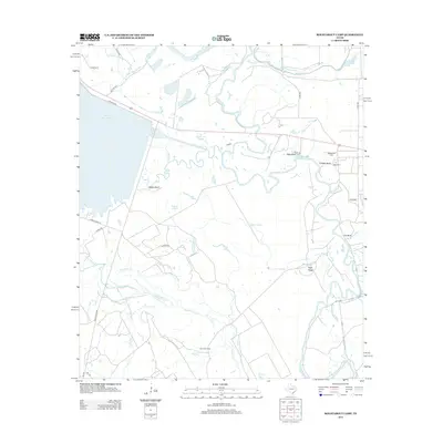
2013 Map of Roustabout Camp
USGS Topo · Published 2013About this map
The Trinity River meanders through this Anderson County landscape, carving a complex network of sloughs and oxbow lakes such as Snag Lake and Long Lake. The area is characterized by low-lying wetlands and industrial or resource-based settlements, most notably Roustabout Camp, Big Camp, and Amerada Camp. These locations, along with Texas Industries Lake, suggest a history tied to the local river economy and industrial extraction.
Find a feature on this map
41 named features on this map. Tap any name to fly to it.
Don’t see what you’re looking for? This feature index may not catch every label — zoom into the map to look around manually.
Map Details
Editions of this 2013 Roustabout Camp Map
This is the sole edition of this map. No revisions or reprints were ever made.
Other maps of this area

1949 · Athens
USGS Topo · 1:62,500

1949 · Tennessee Colony
USGS Topo · 1:62,500

1950 · Athens
USGS Topo · 1:62,500

1950 · Tennessee Colony
USGS Topo · 1:62,500

1953 · Palestine
USGS Topo · 1:250,000

1954 · Dallas
USGS Topo · 1:250,000

1954 · Waco
USGS Topo · 1:250,000

1955 · Waco
USGS Topo · 1:250,000

1956 · Tyler
USGS Topo · 1:250,000

1957 · Palestine
USGS Topo · 1:250,000