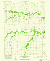
1960 Map of Rowena
USGS Topo · Published 1961About this map
The agricultural landscape of north-central Missouri is defined by its rural school system and small religious centers in this 1960 survey. Centered on Rowena, the area straddles the Monroe County and Audrain County line, where the terrain is carved by the drainages of Long Branch and Goodwater Creek. This map captures a particular moment in the mid-20th century when several localized country schools, such as Fuller Sch, Excelsior Sch, and Naylor Sch, still marked the intersections of township roads. The cultural footprint of the region is further anchored by community sites like Antioch Ch Cem and Bethlehem Ch, illustrating the tight-knit settlement patterns within the townships of Jackson, Saling, and Wilson. The distribution of these named schools and churches provides essential context for those tracing family ties to these specific rural neighborhoods.
Find a feature on this map
21 named features on this map. Tap any name to fly to it.
Don’t see what you’re looking for? This feature index may not catch every label — zoom into the map to look around manually.
Map Details
Editions of this 1960 Rowena Map
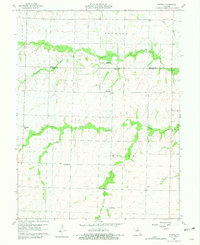
2 editions found
Other maps of this area

1890 · Mexico
USGS Topo · 1:125,000

1890 · Moberly
USGS Topo · 1:125,000

1932 · Mexico
USGS Topo · 1:62,500

1945 · Florida
USGS Topo · 1:62,500

1945 · Centralia
USGS Topo · 1:62,500

1948 · Quincy
USGS Topo · 1:250,000

1953 · Moberly
USGS Topo · 1:250,000

1954 · Moberly
USGS Topo · 1:250,000

1956 · Quincy
USGS Topo · 1:250,000

1957 · Moberly
USGS Topo · 1:250,000