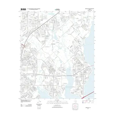
2012 Map of Rowlett
USGS Topo · Published 2012About this map
Lake Ray Hubbard dominates the eastern and southern portions of this landscape, its expansive shoreline defining the residential development of suburban Dallas. The map captures a high-density network of modern thoroughfares like the President George Bush Tpke W and President George Bush Tpke E as they interface with established local communities. Traces of the area's rural past remain visible through a significant concentration of burial grounds, including Cottonwood Cem, Pleasant Valley Cem, and McShan Cem.
Find a feature on this map
38 named features on this map. Tap any name to fly to it.
Don’t see what you’re looking for? This feature index may not catch every label — zoom into the map to look around manually.
Map Details
Editions of this 2012 Rowlett Map
This is the sole edition of this map. No revisions or reprints were ever made.
Other maps of this area

1891 · Dallas
USGS Topo · 1:125,000

1893 · Dallas
USGS Topo · 1:125,000

1912 · Rockwall
USGS Topo · 1:31,680

1919 · Royse City
USGS Topo · 1:62,500

1924 · Farmersville 3-c
USGS Topo · 1:48,000

1924 · Mc Kinney 4-d
USGS Topo · 1:48,000

1929 · McKinney
USGS Topo · 1:62,500

1930 · Farmersville
USGS Topo · 1:62,500

1954 · Dallas
USGS Topo · 1:250,000

1954 · Sherman
USGS Topo · 1:250,000