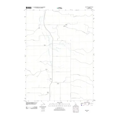
2010 Map of Roy NE
USGS Topo · Published 2010About this map
South Fork Rock Creek forms the central drainage of this Power County landscape, carving through a series of canyons that define the local geography. The 2010 topography shows a network of rural routes named for these prominent natural features, including Portage Canyon Rd, Big Canyon Rd, and Cow Canyon Rd. These roads suggest a history of ranching and land management, providing access to secluded areas like Goddard Canyon and Windy Canyon. The presence of established corridors such as Neal Rd and Simms Rd indicates a sparse but enduring human presence, where the naming of even small drainages like Side Canyon and Hartley Canyon points to a landscape intimately known by those who work the land in southern Idaho.
Find a feature on this map
27 named features on this map. Tap any name to fly to it.
Don’t see what you’re looking for? This feature index may not catch every label — zoom into the map to look around manually.
Map Details
Editions of this 2010 Roy NE Map
This is the sole edition of this map. No revisions or reprints were ever made.
Other maps of this area

1934 · Rockland
USGS Topo · 1:62,500

1937 · Rockland
USGS Topo · 1:62,500

1938 · Pauline
USGS Topo · 1:48,000

1944 · Arbon
USGS Topo · 1:62,500

1954 · Pocatello
USGS Topo · 1:250,000

1958 · Pocatello
USGS Topo · 1:250,000

1971 · Rockland East
USGS Topo · 1:24,000

1971 · Bannock Peak
USGS Topo · 1:24,000

1971 · Rockland West
USGS Topo · 1:24,000

1973 · Hartley Peak
USGS Topo · 1:24,000