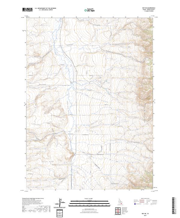
2023 Map of Roy NE
USGS Topo · Published 2023About this map
Rockland Valley serves as the central corridor of this Power County landscape, where the South Fork Rock Creek meanders through a relatively level basin flanked by prominent high ground. To the west, the foothills of the Sublett Range rise sharply, while the eastern edge is defined by the steep, ridged terrain of the Deep Creek Mountains. This environment is characterized by a high density of drainage systems, including Portage Canyon, Big Canyon, and Windy Canyon, each with corresponding access routes following the natural topography.
Find a feature on this map
37 named features on this map. Tap any name to fly to it.
Don’t see what you’re looking for? This feature index may not catch every label — zoom into the map to look around manually.
Map Details
Editions of this 2023 Roy NE Map
This is the sole edition of this map. No revisions or reprints were ever made.
Other maps of this area

1934 · Rockland
USGS Topo · 1:62,500

1937 · Rockland
USGS Topo · 1:62,500

1938 · Pauline
USGS Topo · 1:48,000

1944 · Arbon
USGS Topo · 1:62,500

1954 · Pocatello
USGS Topo · 1:250,000

1958 · Pocatello
USGS Topo · 1:250,000

1971 · Rockland East
USGS Topo · 1:24,000

1971 · Bannock Peak
USGS Topo · 1:24,000

1971 · Rockland West
USGS Topo · 1:24,000

1973 · Hartley Peak
USGS Topo · 1:24,000