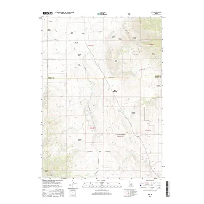
2017 Map of Roy
USGS Topo · Published 2017About this map
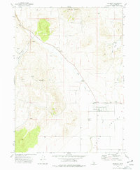
The settlement of Roy occupies the high northern reaches of the Rockland Valley, situated where the S Fork Rock Cr begins its descent through the drainage. This high-desert landscape is defined by the stark transition from the valley floor to the surrounding heights of the Sublett Range and the Colson Basin. To the south, the Curlew National Grassland encompasses a large portion of the territory, preserving the open character of the sagebrush steppe.
Find a feature on this map
50 named features on this map. Tap any name to fly to it.
Don’t see what you’re looking for? This feature index may not catch every label — zoom into the map to look around manually.
Map Details
Editions of this 2017 Roy Map
This is the sole edition of this map. No revisions or reprints were ever made.
Other maps of this area

1954 · Pocatello
USGS Topo · 1:250,000

1958 · Pocatello
USGS Topo · 1:250,000
1973 · Juniper
USGS Topo · 1:24,000
1973 · Hartley Peak
USGS Topo · 1:24,000
1973 · Sublett Troughs
USGS Topo · 1:24,000
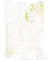
1973 · Roy
USGS Topo · 1:24,000
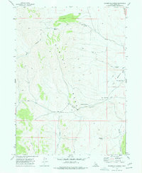
1973 · Badger Hole Spring
USGS Topo · 1:24,000
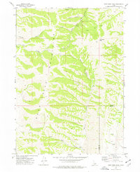
1973 · Deep Creek Peak
USGS Topo · 1:24,000
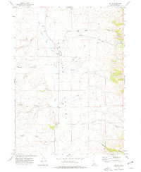
1973 · Roy NE
USGS Topo · 1:24,000
1973 · Holbrook
USGS Topo · 1:24,000