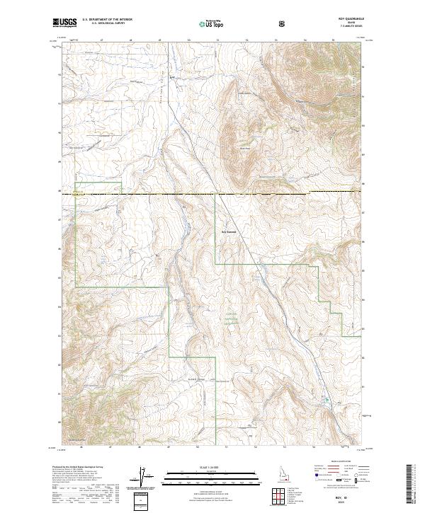
2023 Map of Roy
USGS Topo · Published 2023About this map
The Rockland Valley and the northern reaches of the Sublett Range define this high-altitude landscape in Oneida County. Centered on the settlement of Roy, the map documents a region where ranching and conservation intersect within the Curlew National Grassland. The terrain is characterized by a series of prominent peaks and ridges, including Quaking Asp Mtn and Buck Peak, which rise above the drainages of South-Fork Rock Creek and Rock Creek.
Find a feature on this map
51 named features on this map. Tap any name to fly to it.
Don’t see what you’re looking for? This feature index may not catch every label — zoom into the map to look around manually.
Map Details
Editions of this 2023 Roy Map
This is the sole edition of this map. No revisions or reprints were ever made.
Other maps of this area

1954 · Pocatello
USGS Topo · 1:250,000

1958 · Pocatello
USGS Topo · 1:250,000

1973 · Juniper
USGS Topo · 1:24,000

1973 · Hartley Peak
USGS Topo · 1:24,000

1973 · Sublett Troughs
USGS Topo · 1:24,000
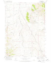
1973 · Roy
USGS Topo · 1:24,000
1973 · Badger Hole Spring
USGS Topo · 1:24,000
1973 · Deep Creek Peak
USGS Topo · 1:24,000
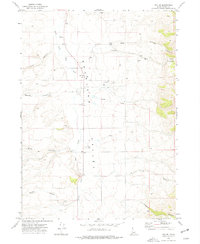
1973 · Roy NE
USGS Topo · 1:24,000
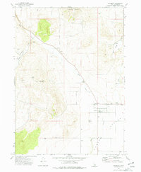
1973 · Holbrook
USGS Topo · 1:24,000