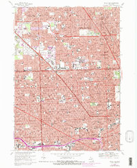
1968 Map of Royal Oak
USGS Topo · Published 1981About this map
The dense residential and industrial corridors of southern Oakland County and northern Detroit are meticulously detailed in this 1968 study, later updated with purple revisions to show the rapid expansion of the 1970s and early 80s. The map captures the transformation of the region's transportation network, anchored by the massive interchanges of the Lodge Freeway and Interstate 696. Amidst the suburban growth of Southfield, Berkley, and Ferndale, older landmarks remain prominent, including the sprawling grounds of Woodlawn Cemetery and Evergreen Cem near the Wayne County line.
Find a feature on this map
103 named features on this map. Tap any name to fly to it.
Don’t see what you’re looking for? This feature index may not catch every label — zoom into the map to look around manually.
Map Details
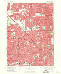
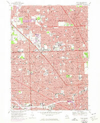
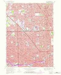
Editions of this 1968 Royal Oak Map
4 editions found
Other maps of this area

1905 · Wayne
USGS Topo · 1:62,500

1905 · Detroit
USGS Topo · 1:62,500

1907 · Pontiac
USGS Topo · 1:62,500

1908 · Rochester
USGS Topo · 1:62,500

1912 · Wayne
USGS Topo · 1:62,500

1918 · Detroit
USGS Topo · 1:62,500

1924 · Detroit
USGS Topo · 1:62,500

1934 · Detroit
USGS Topo · 1:62,500

1936 · Warren
USGS Topo · 1:31,680

1936 · Inkster
USGS Topo · 1:31,680