
1971 Map of Rozet
USGS Topo · Published 1974About this map
The Rozet Oil Field and surrounding energy landscapes dominate this 1971 survey of Campbell County. The area is defined by a dense network of petroleum exploration, with the Pleasant Valley Oil Field and Halverson Oil Field marking the transition from ranching to industrial extraction. At the center of this activity, the small settlement of Rozet serves as a hub along the Burlington Northern railroad, which parallels the winding course of Donkey Creek.
Find a feature on this map
27 named features on this map. Tap any name to fly to it.
Don’t see what you’re looking for? This feature index may not catch every label — zoom into the map to look around manually.
Map Details
Editions of this 1971 Rozet Map
This is the sole edition of this map. No revisions or reprints were ever made.
Other maps of this area

1954 · Gillette
USGS Topo · 1:250,000

1955 · Gillette
USGS Topo · 1:250,000

1958 · Gillette
USGS Topo · 1:250,000

1962 · Gillette
USGS Topo · 1:250,000

1971 · Coyote Draw
USGS Topo · 1:24,000

1971 · Coon Track Creek
USGS Topo · 1:24,000
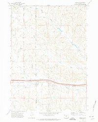
1971 · Rozet SE
USGS Topo · 1:24,000
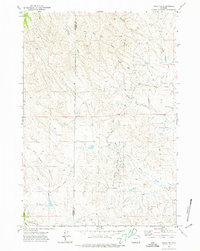
1971 · Rozet NE
USGS Topo · 1:24,000
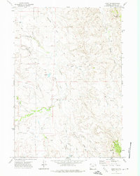
1971 · Rozet NW
USGS Topo · 1:24,000

1971 · Green Hill
USGS Topo · 1:24,000