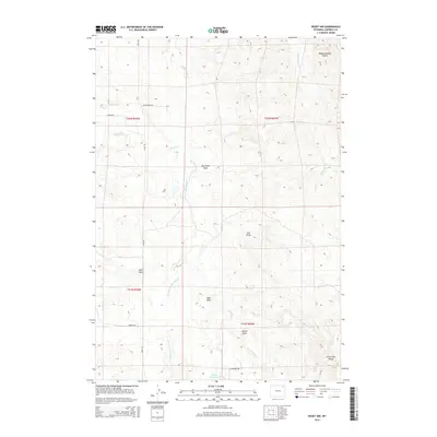
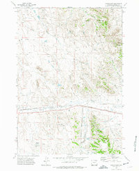
2015 Map of Rozet NW
USGS Topo · Published 2015About this map
Wagonhammer Butte and Little Pine Ridge anchor this portion of Campbell County, Wyoming, where the landscape is defined by an intricate network of seasonal drainages and springs. The map documents the arid terrain northwest of Rozet, characterized by a series of named draws such as Box-Elder Draw, Post Draw, and Zoe Draw. These features, along with the W Fork Cottonwood Cr, illustrate the complex natural irrigation of the high plains before they feed into larger systems like Cottonwood Cr.
Find a feature on this map
23 named features on this map. Tap any name to fly to it.
Don’t see what you’re looking for? This feature index may not catch every label — zoom into the map to look around manually.
Map Details
Editions of this 2015 Rozet NW Map
This is the sole edition of this map. No revisions or reprints were ever made.
Other maps of this area

1954 · Gillette
USGS Topo · 1:250,000

1955 · Gillette
USGS Topo · 1:250,000

1958 · Gillette
USGS Topo · 1:250,000

1962 · Gillette
USGS Topo · 1:250,000

1971 · Rozet
USGS Topo · 1:24,000
1971 · Rozet SE
USGS Topo · 1:24,000
1971 · Rozet NE
USGS Topo · 1:24,000
1971 · Rozet NW
USGS Topo · 1:24,000

1971 · Green Hill
USGS Topo · 1:24,000
1971 · Fortin Draw
USGS Topo · 1:24,000