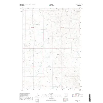
2017 Map of Rozet NW
USGS Topo · Published 2017About this map
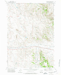
Wagonhammer Butte anchors the northeastern corner of this Campbell County landscape, rising above a network of seasonal drainages and local ranching roads. The drainage patterns are defined by significant features like Box Elder Draw and Hamm Draw, which channel water toward Cottonwood Cr and its various forks. The importance of water management in this high plains environment is evidenced by several named collection points, including School Reservoir and Jiggs Reservoir, along with the Lone Cedar Spring near Little Pine Ridge.
Find a feature on this map
26 named features on this map. Tap any name to fly to it.
Don’t see what you’re looking for? This feature index may not catch every label — zoom into the map to look around manually.
Map Details
Editions of this 2017 Rozet NW Map
This is the sole edition of this map. No revisions or reprints were ever made.
Other maps of this area

1954 · Gillette
USGS Topo · 1:250,000

1955 · Gillette
USGS Topo · 1:250,000

1958 · Gillette
USGS Topo · 1:250,000

1962 · Gillette
USGS Topo · 1:250,000

1971 · Rozet
USGS Topo · 1:24,000
1971 · Rozet SE
USGS Topo · 1:24,000
1971 · Rozet NE
USGS Topo · 1:24,000
1971 · Rozet NW
USGS Topo · 1:24,000

1971 · Green Hill
USGS Topo · 1:24,000
1971 · Fortin Draw
USGS Topo · 1:24,000