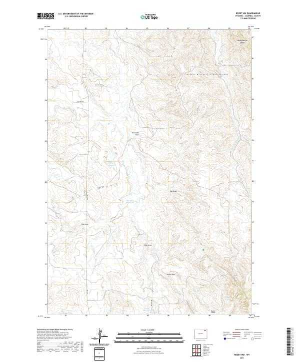
2021 Map of Rozet NW
USGS Topo · Published 2021About this map
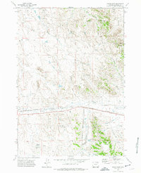
Wagonhammer Butte and the Little Mitchell Creek Breaks define the high ground of this northeastern Wyoming landscape. The terrain is deeply etched by a network of drainage channels, including Box Elder Draw, Zoe Draw, and Post Draw, which flow toward the primary waterway of Cottonwood Cr. Human activity in this rural ranching and resource area is centered around water management and transportation, evidenced by several catchments like School Reservoir, Cliff White Reservoir, and Jiggs Reservoir. The map reveals a sparse but deliberate road network, with routes such as Adon Rd and Oil Field Rd cutting across the section lines of the Public Land Survey System. These roads connect isolated points of interest like Lone Cedar Spring and Jiggs Draw, reflecting a landscape managed for cattle and energy extraction in Campbell County.
Find a feature on this map
26 named features on this map. Tap any name to fly to it.
Don’t see what you’re looking for? This feature index may not catch every label — zoom into the map to look around manually.
Map Details
Editions of this 2021 Rozet NW Map
This is the sole edition of this map. No revisions or reprints were ever made.
Other maps of this area

1954 · Gillette
USGS Topo · 1:250,000

1955 · Gillette
USGS Topo · 1:250,000

1958 · Gillette
USGS Topo · 1:250,000

1962 · Gillette
USGS Topo · 1:250,000

1971 · Rozet
USGS Topo · 1:24,000
1971 · Rozet SE
USGS Topo · 1:24,000
1971 · Rozet NE
USGS Topo · 1:24,000
1971 · Rozet NW
USGS Topo · 1:24,000

1971 · Green Hill
USGS Topo · 1:24,000
1971 · Fortin Draw
USGS Topo · 1:24,000