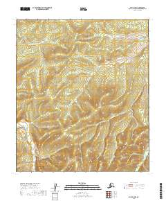
2019 Map of Ruby A-4 NW
USGS Topo · Published 2019About this map
Bonanza Creek and Lost River define the drainage patterns of this wilderness landscape in the Yukon-Koyukuk Census Area. This 2019 survey documents a region dominated by relief and watercourses rather than human infrastructure, as seen in the winding paths of Straight Creek and Wood Creek. The land is meticulously gridded for the Public Land Survey System, showing the boundaries for t14s r20e, t15s r20e, and t16s r20e as they meet the R21E ranges. These survey lines provide the primary framework for locating specific points in a territory where natural landmarks serve as the only named features. The absence of roads or established settlements emphasizes the remote nature of this Alaskan interior during the early 21st century.
Find a feature on this map
10 named features on this map. Tap any name to fly to it.
Don’t see what you’re looking for? This feature index may not catch every label — zoom into the map to look around manually.
Map Details
Editions of this 2019 Ruby A-4 NW Map
This is the sole edition of this map. No revisions or reprints were ever made.
Other maps of this area

1951 · Ruby
USGS Topo · 1:250,000

1952 · Ruby A-4
USGS Topo · 1:63,360

1952 · Ruby B-4
USGS Topo · 1:63,360

1952 · Ruby B-5
USGS Topo · 1:63,360

1952 · Ruby A-5
USGS Topo · 1:63,360

1952 · Ruby
USGS Topo · 1:250,000

1964 · Ruby
USGS Topo · 1:250,000
2019 · Ruby A-4 SW
USGS Topo · 1:25,000
2019 · Ruby A-5 SE
USGS Topo · 1:25,000
2019 · Ruby B-4 SE
USGS Topo · 1:25,000