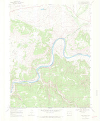
1968 Map of Ruby Canyon
USGS Topo · Published 1971About this map
The Colorado River carves a winding path through the high desert landscape of Mesa County, defining the corridor of Ruby Canyon as it approaches the Utah Colorado border. This late 1960s survey illustrates the critical transportation infrastructure of the era, specifically the Denver and Rio Grande Western RR which follows the river's northern banks. The railroad passes through a Tunnel near Crow Bottom and serves the small station area of Shale. The map provides a detailed view of the surrounding drainage systems, including the complex network of Salt Creek and Mack Wash. Significant terrain features such as Rabbit Valley, Horsethief Canyon, and Mee Canyon highlight the erosional geology of the region, while the 6 and 50 Reservoir indicates the management of water resources in this arid environment.
Find a feature on this map
22 named features on this map. Tap any name to fly to it.
Don’t see what you’re looking for? This feature index may not catch every label — zoom into the map to look around manually.
Map Details
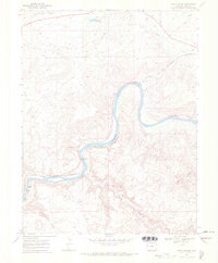
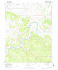
Editions of this 1968 Ruby Canyon Map
3 editions found
Other maps of this area

1885 · East Tavaputs
USGS Topo · 1:250,000

1956 · Westwater 4 SE
USGS Topo · 1:24,000

1956 · Grand Junction
USGS Topo · 1:250,000

1959 · Grand Junction
USGS Topo · 1:250,000

1960 · Grand Junction
USGS Topo · 1:250,000

1962 · Grand Junction
USGS Topo · 1:250,000

1962 · Mack
USGS Topo · 1:24,000
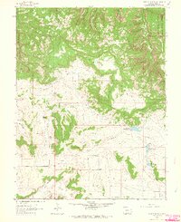
1962 · Battleship Rock
USGS Topo · 1:24,000

1964 · Grand Junction
USGS Topo · 1:250,000

1965 · Grand Junction
USGS Topo · 1:250,000