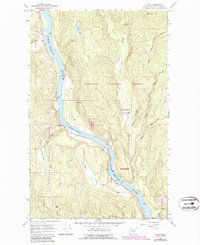
1967 Map of Ruby
USGS Topo · Published 1986About this map
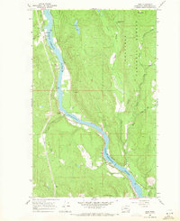
The Pend Oreille River carves a deep valley through the northern Washington panhandle, serving as the primary corridor for movement and settlement. Small communities like Blueslide and Ruby are situated along the riverbanks, where the Pend Oreille Valley Road follows the water's course. To the east, the landscape rises into the timbered slopes of the Colville National Forest and Kaniksu National Forest, broken by drainage networks like Le Clerc Creek and its various branches.
Find a feature on this map
31 named features on this map. Tap any name to fly to it.
Don’t see what you’re looking for? This feature index may not catch every label — zoom into the map to look around manually.
Map Details
Editions of this 1967 Ruby Map
2 editions found
Other maps of this area

1934 · Metaline
USGS Topo · 1:125,000

1936 · Newport
USGS Topo · 1:96,000

1942 · Metaline
USGS Topo · 1:125,000

1942 · Newport
USGS Topo · 1:125,000

1958 · Sandpoint
USGS Topo · 1:250,000

1963 · Sandpoint
USGS Topo · 1:250,000

1967 · Timber Mtn.
USGS Topo · 1:24,000

1967 · Ione
USGS Topo · 1:24,000

1967 · Scotchman Lake
USGS Topo · 1:24,000

1967 · Monumental Mtn.
USGS Topo · 1:24,000