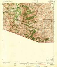
1942 Map of Ruby
USGS Topo · Published 1942About this map
Ruby stands as a primary focal point in this southern Arizona landscape, situated just north of the border between the United States and Mexico. Surveyed in 1939, the map reveals a rugged mining and ranching economy defined by the Tumacacori, Atascosa Mountains, and Pajarito Mountains. The presence of the Dos Amigos Mine near California Gulch and the White Oak Mine further east illustrates the era's mineral exploration, while a network of springs and tanks like Corral Nuevo Spring and Atascosa Spring supported the scattered ranching outposts.
Find a feature on this map
66 named features on this map. Tap any name to fly to it.
Don’t see what you’re looking for? This feature index may not catch every label — zoom into the map to look around manually.
Map Details
Editions of this 1942 Ruby Map
3 editions found
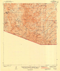
Other maps of this area

1904 · Patagonia
USGS Topo · 1:125,000

1905 · Patagonia
USGS Topo · 1:125,000

1905 · Nogales
USGS Topo · 1:125,000

1920 · Arivaca
USGS Topo · 1:125,000

1921 · Old Glory
USGS Topo · 1:125,000

1922 · Agus Caliente
USGS Topo · 1:62,500

1933 · Calabasas
USGS Topo · 1:62,500

1939 · Tubac
USGS Topo · 1:62,500

1941 · Arivaca
USGS Topo · 1:62,500

1942 · Ruby
USGS Topo · 1:62,500