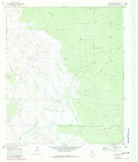
1969 Map of Rudd Draw
USGS Topo · Published 1981About this map
Wheat Oil Field dominates this arid landscape in Loving County, illustrating the intensive petroleum exploration that defined the region during the late 1960s. The map reveals a dense network of energy infrastructure, from a dedicated Oil Well and numerous Drill Hole locations to a major east-west Pipeline. This industrial activity is superimposed on a traditional ranching environment where water management was paramount, as evidenced by named water sources like White Mule Well, Gillespie Tank, and Rondo Well.
Find a feature on this map
18 named features on this map. Tap any name to fly to it.
Don’t see what you’re looking for? This feature index may not catch every label — zoom into the map to look around manually.
Map Details
Editions of this 1969 Rudd Draw Map
2 editions found
Other maps of this area

1954 · Pecos
USGS Topo · 1:250,000

1957 · Pecos
USGS Topo · 1:250,000

1961 · Mentone
USGS Topo · 1:24,000

1961 · Anderson Ranch
USGS Topo · 1:24,000

1961 · Lindley Ranch
USGS Topo · 1:24,000

1967 · Soda Lake NW
USGS Topo · 1:24,000

1969 · Kyle Ranch
USGS Topo · 1:24,000

1969 · Cheyenne Draw SW
USGS Topo · 1:24,000

1969 · Rudd Draw NE
USGS Topo · 1:24,000
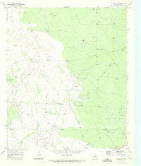
1969 · Rudd Draw
USGS Topo · 1:24,000