
1961 Map of Ruedi
USGS Topo · Published 1963About this map
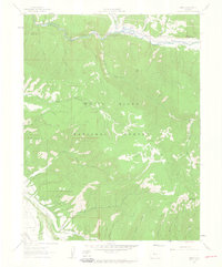
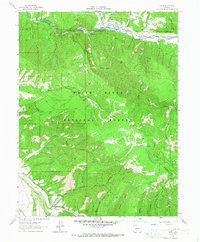
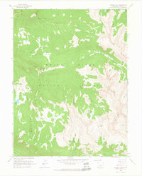
Fryingpan River drainage dominates this high-altitude landscape in the early 1960s, just before the valley underwent significant topographical changes. The small settlement of Ruedi sits along the river near the northern edge of the White River National Forest, a terrain of steep gulches and high peaks like Ford Peak and Larkspur Mountain. The map documents a network of primitive transportation, including numerous stretches of Pack Trail and Jeep Trail that provided access to remote areas like Kobey Park and Cow Camp. Notable water management and recreational features appear throughout the valley, including the Salvation Ditch and the Rocky Fork Campground, alongside a Gaging Sta and Footbridge over the river. This survey captures the characteristic mountain economy of the era, where timber, water rights, and rugged accessibility defined the transition from early ranching and mining to modern recreation and water storage.
Find a feature on this map
35 named features on this map. Tap any name to fly to it.
Don’t see what you’re looking for? This feature index may not catch every label — zoom into the map to look around manually.
Map Details
Editions of this 1961 Ruedi Map
5 editions found
Other maps of this area

1893 · Aspen
USGS Topo · 1:62,500

1895 · Aspen
USGS Topo · 1:62,500

1909 · Mount Jackson
USGS Topo · 1:125,000

1911 · Mount Jackson
USGS Topo · 1:125,000

1957 · Leadville
USGS Topo · 1:250,000

1959 · Leadville
USGS Topo · 1:250,000

1960 · Leadville
USGS Topo · 1:250,000

1960 · Highland Peak
USGS Topo · 1:24,000
1960 · Thimble Rock
USGS Topo · 1:24,000

1960 · Aspen
USGS Topo · 1:24,000