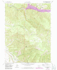
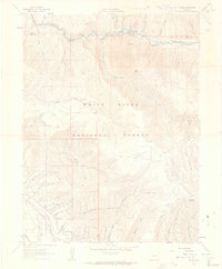
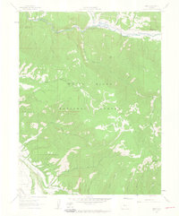
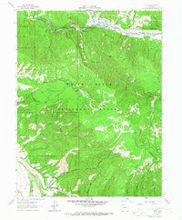
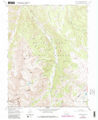
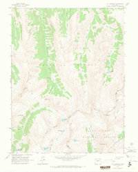
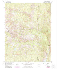
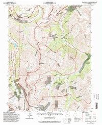
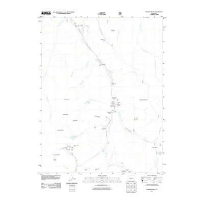
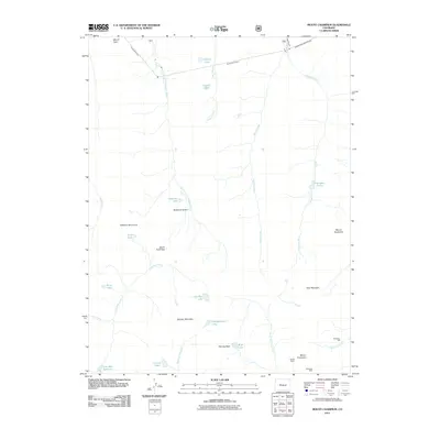
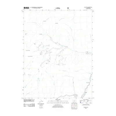
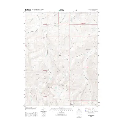
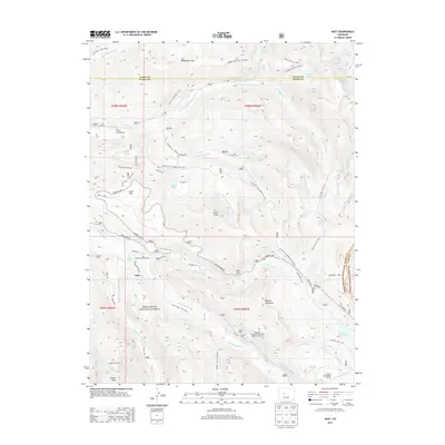
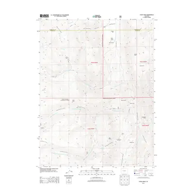
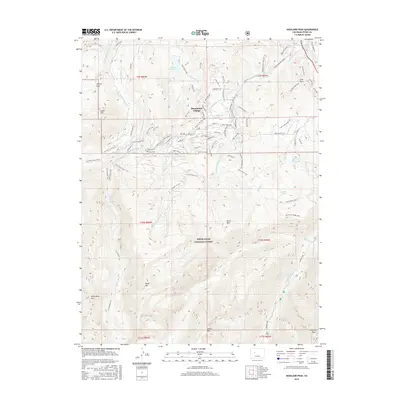
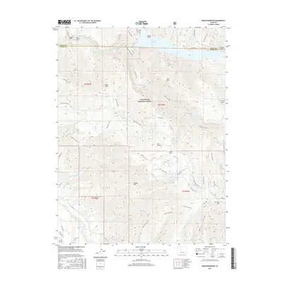
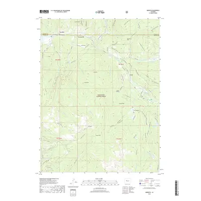
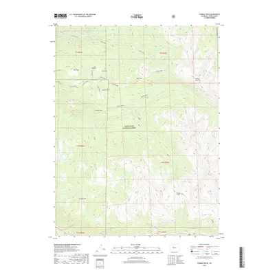
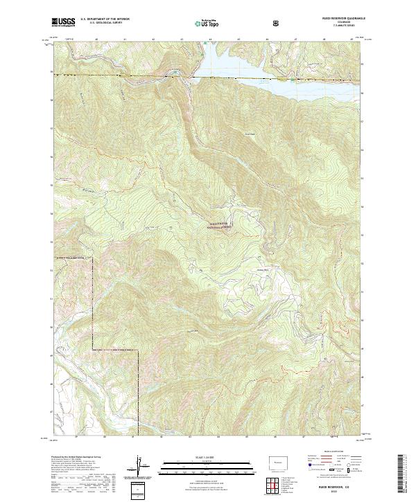
1961 Map of Ruedi Reservoir
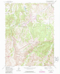
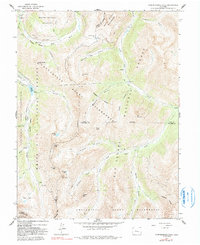
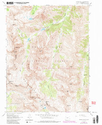
USGS Topo · Published 1988About this map
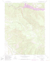
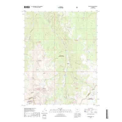
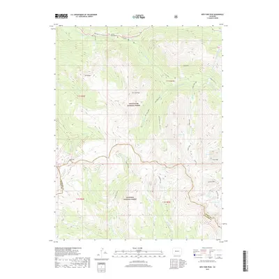
The Fryingpan River corridor serves as the primary focal point of this Colorado survey, captured just as the Ruedi Reservoir and its associated infrastructure were establishing their footprint in the White River National Forest. The landscape is a complex network of high peaks and drainage basins, including Vagneur Mountain and Ford Peak, separated by deep cuts like Red Canyon. Evidence of early land use and local industry appears via a Cow Camp, a remote Cem, and the presence of the Salvation Ditch along the lower reaches of Woody Creek. The transition from a wilderness and ranching economy to one of water management and utility is marked by the Power Plant and Gaging Sta situated below the dam. High-altitude meadows such as Kobey Park contrast with the rugged descents of Rocky Fork Creek and Snyder Gulch, while a web of Jeep Trails and Pack Trails indicates the limited transit routes available during the late twentieth century.
Find a feature on this map
40 named features on this map. Tap any name to fly to it.
Don’t see what you’re looking for? This feature index may not catch every label — zoom into the map to look around manually.
Map Details
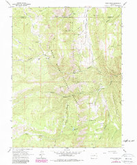
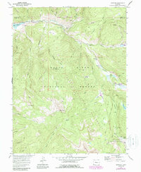
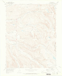
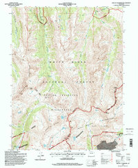
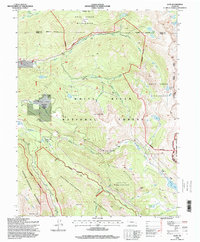
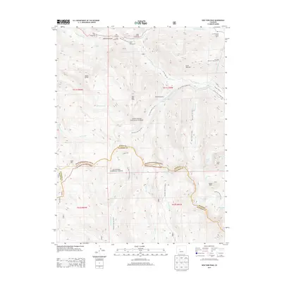
Editions of this 1961 Ruedi Reservoir Map
5 editions found
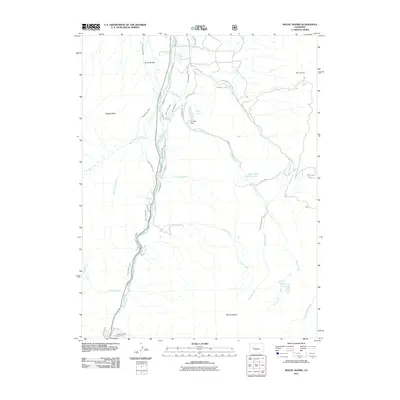
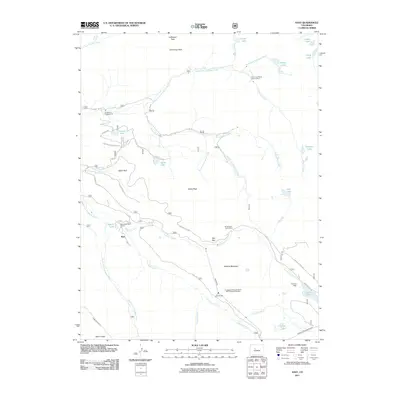
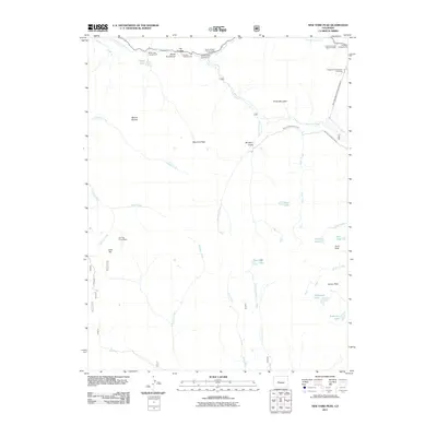
Historical Maps of Eagle County Through Time
89 maps found
1909 Mount Jackson
Pitkin County, CO
1911 Mount Jackson
Pitkin County, CO
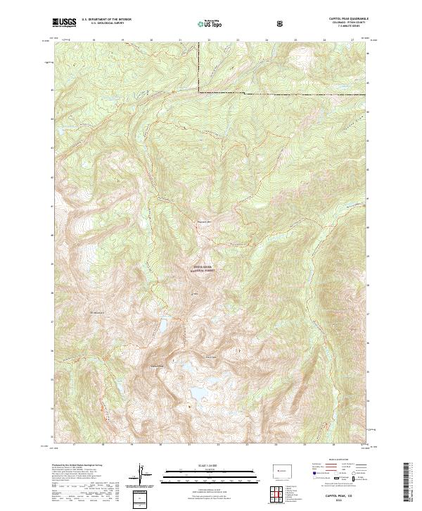
1960 Capitol Peak
Pitkin County, CO
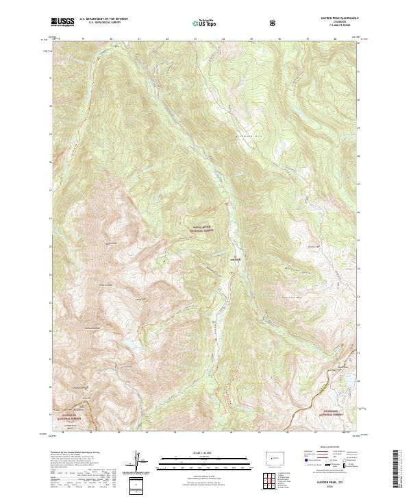
1960 Hayden Peak
Pitkin County, CO
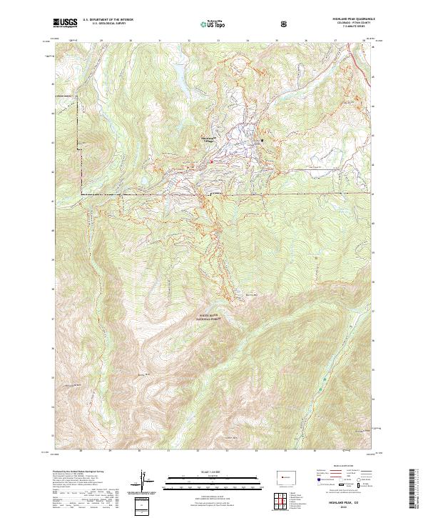
1960 Highland Peak
Pitkin County, CO
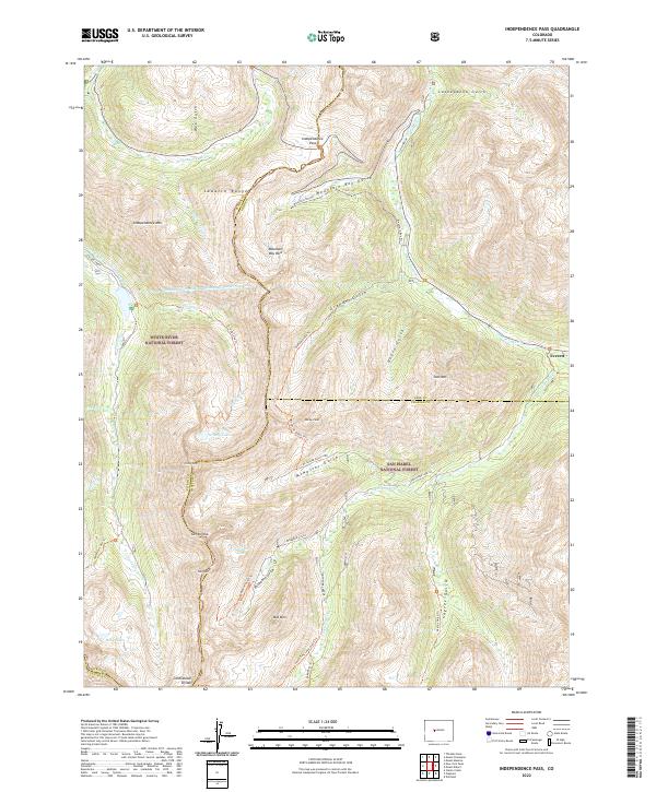
1960 Independence Pass
Pitkin County, CO
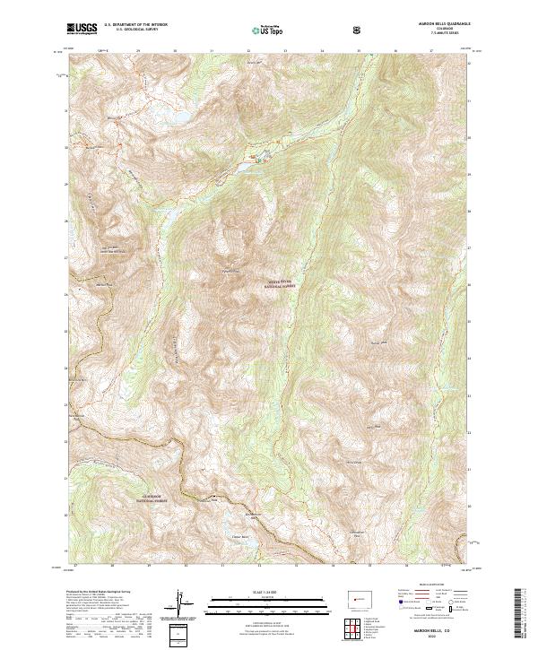
1960 Maroon Bells
Pitkin County, CO
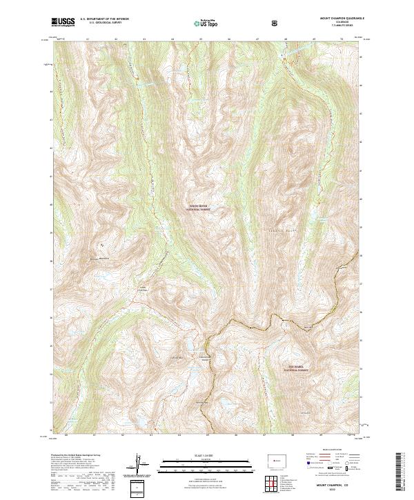
1960 Mount Champion
Pitkin County, CO
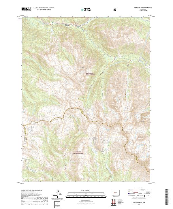
1960 New York Peak
Pitkin County, CO
1960 Thimble Rock
Pitkin County, CO
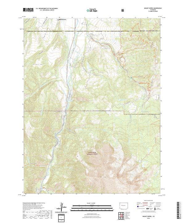
1961 Mount Sopris
Pitkin County, CO
1961 Ruedi Reservoir
Pitkin County, CO
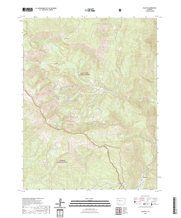
1963 Placita
Pitkin County, CO
1963 Stony Ridge
Pitkin County, CO
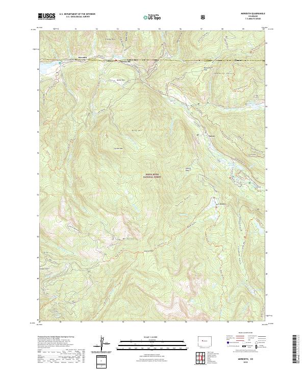
1970 Meredith
Pitkin County, CO
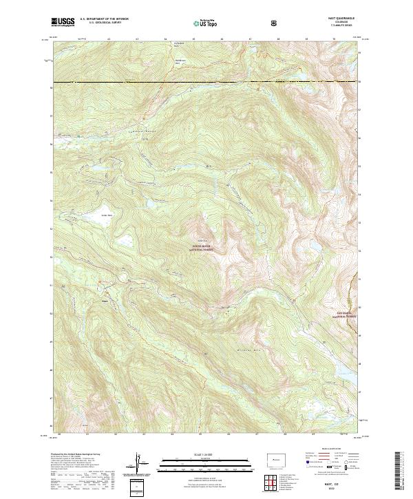
1970 Nast
Pitkin County, CO
1994 Independence Pass
Pitkin County, CO
1994 Mount Champion
Pitkin County, CO
1994 Nast
Pitkin County, CO
2011 Capitol Peak
Pitkin County, CO
2011 Hayden Peak
Pitkin County, CO
2011 Highland Peak
Pitkin County, CO
2011 Independence Pass
Pitkin County, CO
2011 Maroon Bells
Pitkin County, CO

2011 Meredith
Pitkin County, CO
2011 Mount Champion
Pitkin County, CO
2011 Mount Sopris
Pitkin County, CO
2011 Nast
Pitkin County, CO
2011 New York Peak
Pitkin County, CO
2011 Placita
Pitkin County, CO
2011 Ruedi Reservoir
Pitkin County, CO
2011 Stony Ridge
Pitkin County, CO
2011 Thimble Rock
Pitkin County, CO
2013 Capitol Peak
Pitkin County, CO
2013 Hayden Peak
Pitkin County, CO
2013 Highland Peak
Pitkin County, CO
2013 Independence Pass
Pitkin County, CO
2013 Maroon Bells
Pitkin County, CO
2013 Meredith
Pitkin County, CO
2013 Mount Champion
Pitkin County, CO
2013 Mount Sopris
Pitkin County, CO
2013 Nast
Pitkin County, CO
2013 New York Peak
Pitkin County, CO
2013 Placita
Pitkin County, CO
2013 Ruedi Reservoir
Pitkin County, CO
2013 Stony Ridge
Pitkin County, CO
2013 Thimble Rock
Pitkin County, CO
2016 Capitol Peak
Pitkin County, CO
2016 Hayden Peak
Pitkin County, CO
2016 Highland Peak
Pitkin County, CO
2016 Independence Pass
Pitkin County, CO
2016 Maroon Bells
Pitkin County, CO

2016 Meredith
Pitkin County, CO
2016 Mount Champion
Pitkin County, CO
2016 Mount Sopris
Pitkin County, CO
2016 Nast
Pitkin County, CO
2016 New York Peak
Pitkin County, CO
2016 Placita
Pitkin County, CO
2016 Ruedi Reservoir
Pitkin County, CO
2016 Stony Ridge
Pitkin County, CO
2016 Thimble Rock
Pitkin County, CO
2019 Capitol Peak
Pitkin County, CO
2019 Hayden Peak
Pitkin County, CO
2019 Highland Peak
Pitkin County, CO
2019 Independence Pass
Pitkin County, CO
2019 Maroon Bells
Pitkin County, CO
2019 Meredith
Pitkin County, CO
2019 Mount Champion
Pitkin County, CO
2019 Mount Sopris
Pitkin County, CO
2019 Nast
Pitkin County, CO
2019 New York Peak
Pitkin County, CO
2019 Placita
Pitkin County, CO
2019 Ruedi Reservoir
Pitkin County, CO
2019 Stony Ridge
Pitkin County, CO
2019 Thimble Rock
Pitkin County, CO
2022 Capitol Peak
Pitkin County, CO
2022 Hayden Peak
Pitkin County, CO
2022 Highland Peak
Pitkin County, CO
2022 Independence Pass
Pitkin County, CO
2022 Maroon Bells
Pitkin County, CO
2022 Meredith
Pitkin County, CO
2022 Mount Champion
Pitkin County, CO
2022 Mount Sopris
Pitkin County, CO
2022 Nast
Pitkin County, CO
2022 New York Peak
Pitkin County, CO
2022 Placita
Pitkin County, CO
2022 Ruedi Reservoir
Pitkin County, CO
2022 Stony Ridge
Pitkin County, CO
2022 Thimble Rock
Pitkin County, CO