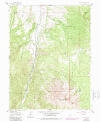
1961 Map of Mount Sopris
USGS Topo · Published 1988About this map
Mount Sopris dominates the southern landscape of this 1961 survey, updated through the late 1980s to show the expanding boundaries of the Maroon Bells-Snowmass Wilderness. The Crystal River valley serves as a primary corridor, where the remnants of earlier industrial infrastructure are visible, such as an Old Railroad Grade tracing the banks of Thompson Creek. This area of the White River National Forest is defined by a network of drainage systems including Potato Bill Creek, Nettle Creek, and Prince Creek, which flow from the high country toward the river valley below.
Find a feature on this map
29 named features on this map. Tap any name to fly to it.
Don’t see what you’re looking for? This feature index may not catch every label — zoom into the map to look around manually.
Map Details
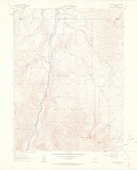
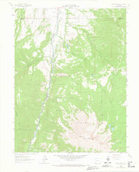
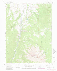
Editions of this 1961 Mount Sopris Map
5 editions found
Other maps of this area

1957 · Leadville
USGS Topo · 1:250,000

1959 · Leadville
USGS Topo · 1:250,000

1960 · Leadville
USGS Topo · 1:250,000

1960 · Capitol Peak
USGS Topo · 1:24,000

1960 · Redstone
USGS Topo · 1:24,000

1961 · Mount Sopris
USGS Topo · 1:24,000

1961 · Cattle Creek
USGS Topo · 1:24,000

1961 · Carbondale
USGS Topo · 1:24,000

1961 · Leon
USGS Topo · 1:24,000

1961 · Basalt
USGS Topo · 1:24,000