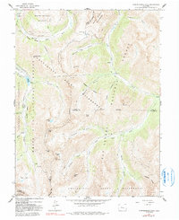
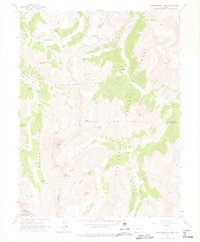
1960 Map of Independence Pass
USGS Topo · Published 1991About this map
Independence sits at the high headwaters of the Roaring Fork River near the treacherous crossing of Independence Pass. This high-altitude landscape is defined by the Continental Divide and the complex water management systems of the mid-20th century, including the New York Collection Canal and the Twin Lakes Reservoir and Canal Co Tunnel No 1. The presence of the Ruby Mine and various prospects near the Ruby settlement highlights the region's mining heritage, while summits like Grizzly Peak and Star Mountain dominate the topography. The map illustrates the intersection of industrial ambition and conservation, as these remote operations are surrounded by the White River National Forest and the Collegiate Peaks Wilderness, showing a terrain where timber, water, and mineral extraction competed with the emerging recreational value of sites like Lost Man Campground.
Find a feature on this map
55 named features on this map. Tap any name to fly to it.
Don’t see what you’re looking for? This feature index may not catch every label — zoom into the map to look around manually.
Map Details
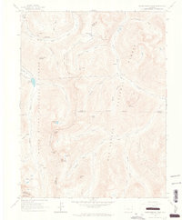
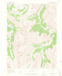
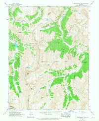
Editions of this 1960 Independence Pass Map
5 editions found
Other maps of this area

1889 · Leadville
USGS Topo · 1:125,000

1891 · Leadville
USGS Topo · 1:125,000

1909 · Mount Jackson
USGS Topo · 1:125,000

1911 · Mount Jackson
USGS Topo · 1:125,000

1934 · Taylor Park
USGS Topo · 1:62,500

1935 · Mount Elbert
USGS Topo · 1:62,500

1937 · Taylor Park
USGS Topo · 1:62,500

1938 · Mount Elbert
USGS Topo · 1:62,500

1939 · Mount Elbert
USGS Topo · 1:62,500

1942 · Leadville
USGS Topo · 1:125,000